Armley Park, Leeds
Map

Gallery

Facts and practical information
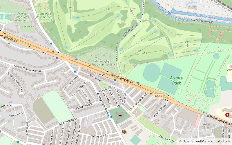
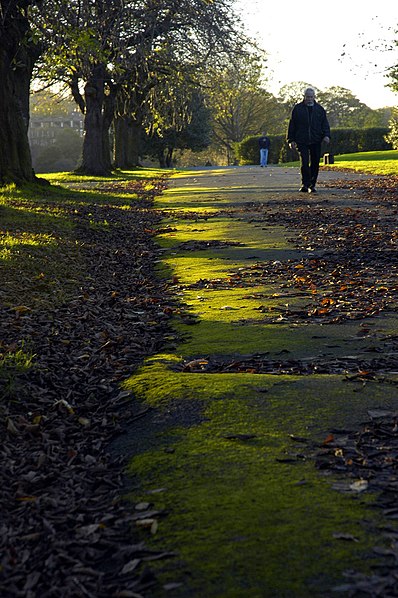
Armley Park is a large public park located next to Stanningley Road in Armley, on the outskirts of Leeds, in West Yorkshire, Northern England. ()
Area: 74.13 acres (0.1158 mi²)Elevation: 266 ft a.s.l.Coordinates: 53°48'4"N, 1°35'54"W
Address
ArmleyLeeds
ContactAdd
Social media
Add
Day trips
Armley Park – popular in the area (distance from the attraction)
Nearby attractions include: Headingley Carnegie Stadium, Gotts Park Mansion, Hyde Park Picture House, City Golf Leeds.
Frequently Asked Questions (FAQ)
Which popular attractions are close to Armley Park?
Nearby attractions include Christ Church, Leeds (4 min walk), Carr Crofts Model Layout, Leeds (13 min walk), St Bartholomew's Church, Leeds (17 min walk), Leeds Industrial Museum at Armley Mills, Leeds (17 min walk).
How to get to Armley Park by public transport?
The nearest stations to Armley Park:
Bus
Train
Bus
- Stanningley Road Moorfield Road • Lines: 14 (1 min walk)
- Armley Ridge Road Stanningley Road • Lines: 14 (6 min walk)
Train
- Burley Park (29 min walk)
- Headingley (31 min walk)


