Bowling Park, Bradford
Map
Gallery
Facts and practical information
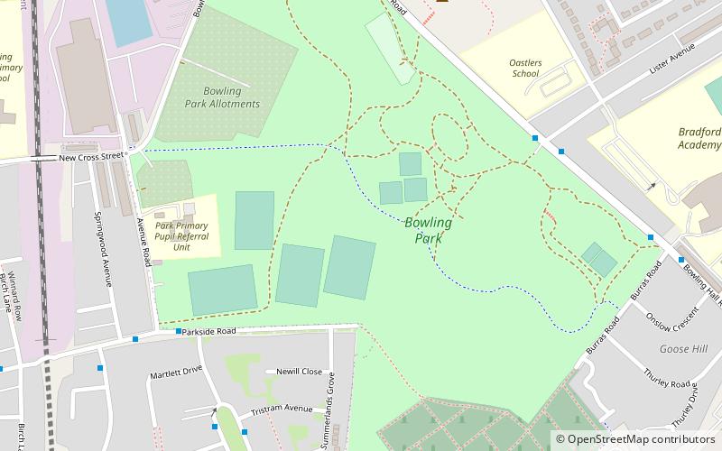
Bowling Park is a public urban park near Bolling Hall in Bradford, West Yorkshire, England about 1+1⁄2 miles south south east from the city centre. The park is irregularly shaped with an area of 50 acres and is bounded by Bowling Hall Road, Burras Road, Bowling Memorial Cemetery, Parkside Road, Avenue Road, Bowling Park Allotments and Bowling Park Drive. ()
Created: 1880Elevation: 545 ft a.s.l.Coordinates: 53°46'33"N, 1°44'27"W
Day trips
Bowling Park – popular in the area (distance from the attraction)
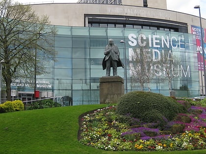
Nearby attractions include: National Science and Media Museum, Sunbridge Wells, Odsal Stadium, Bolling Hall Museum.
Frequently Asked Questions (FAQ)
Which popular attractions are close to Bowling Park?
Nearby attractions include Bolling Hall Museum, Bradford (7 min walk), Bierley, Bradford (18 min walk).
How to get to Bowling Park by public transport?
The nearest stations to Bowling Park:
Train
Bus
Train
- Bradford Interchange (28 min walk)
Bus
- Bradford Interchange (29 min walk)
- Stand R Bradford Interchange • Lines: Route 620 (30 min walk)

