Horton Park, Bradford
Map
Map

Facts and practical information
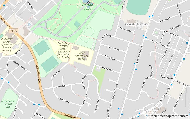
Horton Park is a public park in Bradford, England, located to the west of the city in Great Horton. It was opened on 25 May 1878 on land purchased by Bradford Council in 1873. The park was designed by William Gay landscape gardener and surveyor. ()
Opened: 25 May 1878 (147 years ago)Elevation: 591 ft a.s.l.Coordinates: 53°46'47"N, 1°46'26"W
Day trips
Horton Park – popular in the area (distance from the attraction)
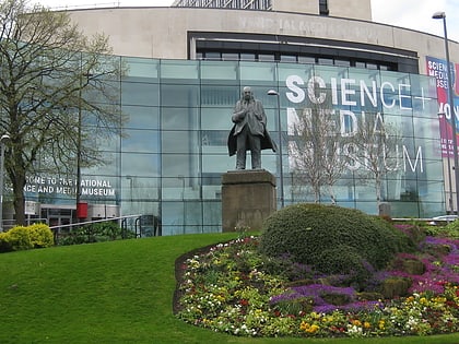
Nearby attractions include: National Science and Media Museum, The Broadway, Sunbridge Wells, The Kirkgate Shopping Centre Bradford.
Frequently Asked Questions (FAQ)
How to get to Horton Park by public transport?
The nearest stations to Horton Park:
Bus
Train
Bus
- Stand R Bradford Interchange • Lines: Route 620 (31 min walk)
- S9 • Lines: Route 620 (32 min walk)
Train
- Bradford Interchange (33 min walk)

