Runcorn Docks, Runcorn
Map

Gallery

Facts and practical information
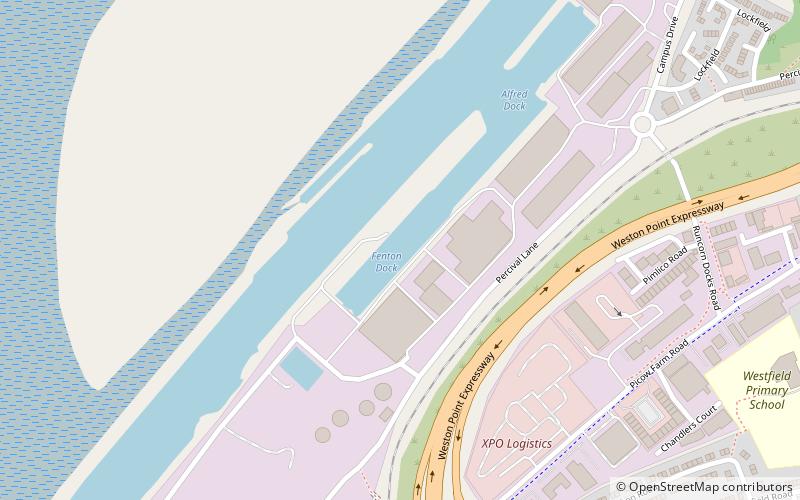
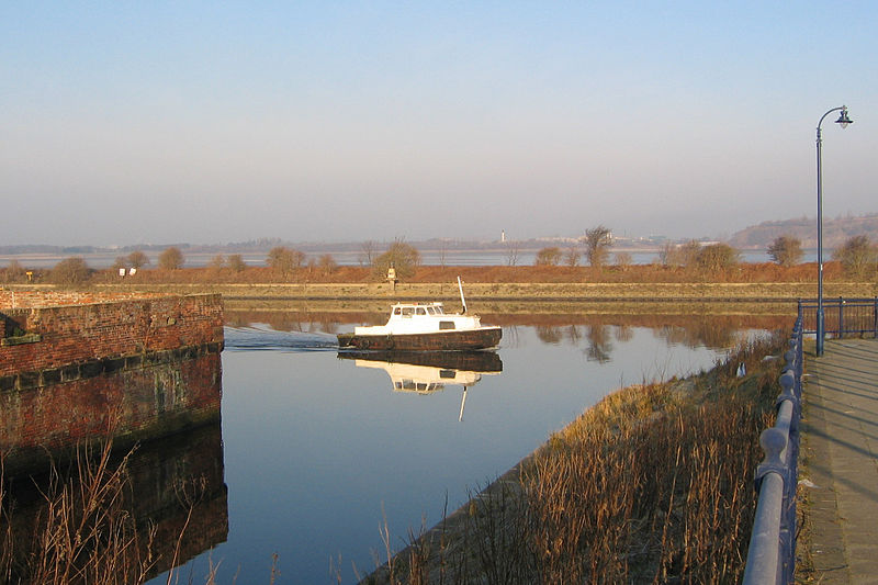
Runcorn Docks, originally the Bridgewater Docks, is an inland port on the Manchester Ship Canal in the town of Runcorn, Cheshire, England. It is operated by Peel Ports and handles bulk and project cargo. ()
Coordinates: 53°20'16"N, 2°45'10"W
Address
Runcorn
ContactAdd
Social media
Add
Day trips
Runcorn Docks – popular in the area (distance from the attraction)
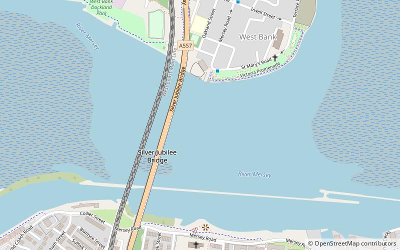
Nearby attractions include: Catalyst Science Discovery Centre, All Saints' Church, Widnes-Runcorn Transporter Bridge, Silver Jubilee Bridge.
Frequently Asked Questions (FAQ)
Which popular attractions are close to Runcorn Docks?
Nearby attractions include Bridgewater House, Runcorn (12 min walk), Wat Phra Singh UK, Runcorn (17 min walk), Runcorn War Memorial, Runcorn (17 min walk), Carnegie Library, Runcorn (18 min walk).
How to get to Runcorn Docks by public transport?
The nearest stations to Runcorn Docks:
Train
Bus
Train
- Runcorn (15 min walk)
Bus
- Runcorn Bus Station (23 min walk)


