Woodheys Park, Sale
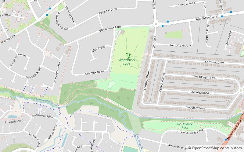
Map
Facts and practical information
Woodheys Park, also known as Pinky Park, is a park which is located at Kenmore Road, off Woodhouse Lane in Sale, Greater Manchester. The park is approximately 7.5 hectares in size and is situated close to the popular catchment areas of Sale, Broadheath and Timperley. The park has several facilities as well as a woodland retreat. ()
Elevation: 82 ft a.s.l.Coordinates: 53°24'34"N, 2°21'15"W
Address
Trafford (Broadheath)Sale
ContactAdd
Social media
Add
Getting there by public transportation
Public transportation stops near this location
- Bus
- Tram
- Train
 Bus
Bus
- Calculate routeDavenport Lane 18 min walk
- Calculate routeRiddings Road/Park Road 26 min walk
- Calculate routeMoss Lane/Park Road 27 min walk
- Calculate routeTimperley 19 min walk
- Calculate routeNavigation Road 27 min walk
- Calculate routeBrooklands 33 min walk
- Calculate routeNavigation Road 27 min walk
Day trips


Frequently Asked Questions (FAQ)
Which popular attractions are close to Woodheys Park?
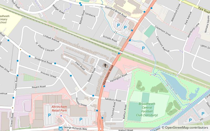
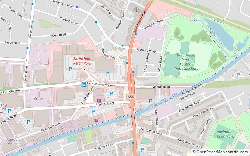
Nearby attractions include Trafford College, Altrincham (9 min walk), St Alban's Church, Altrincham (13 min walk).
How to get to Woodheys Park by public transport?
The nearest stations to Woodheys Park:
Bus
Tram
Train
Bus
- Davenport Lane (18 min walk)
- Riddings Road/Park Road • Lines: 20 (26 min walk)
Tram
- Timperley • Lines: Altr, Bury, Picc (19 min walk)
- Navigation Road • Lines: Altr, Bury, Picc (27 min walk)
Train
- Navigation Road (27 min walk)