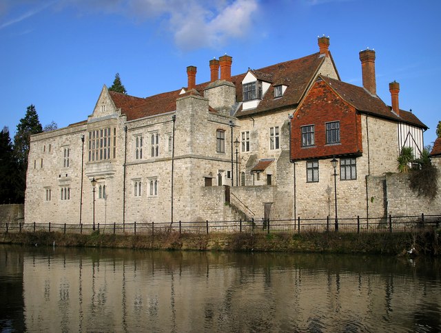
Archbishop's Palace, Maidstone

Gallery (2)
Map
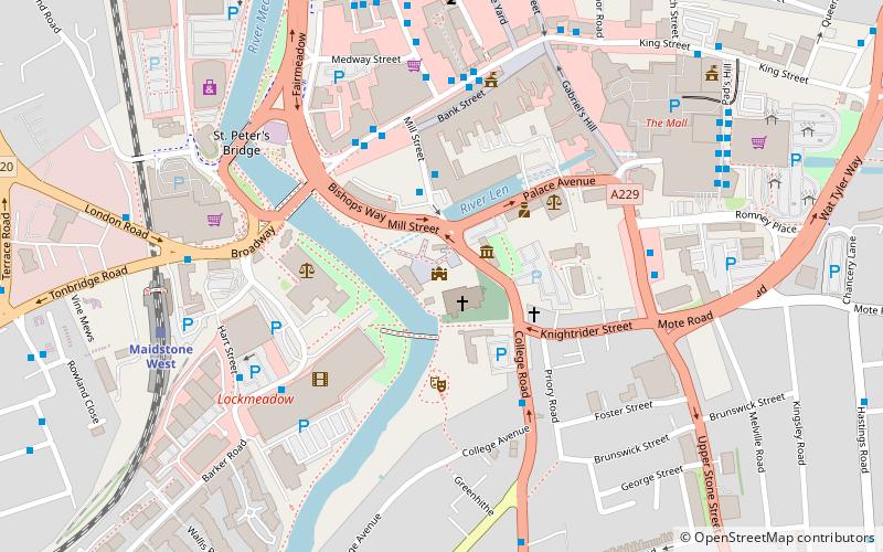
Map
Gallery
Facts and practical information
The Archbishop's Palace is a Grade I listed historic 14th-century and 16th-century building on the east bank of the River Medway in Maidstone, Kent. Originally a home from home for travelling archbishops from Canterbury, the building is today principally used as a venue for wedding services. The former tithe barn for the palace, now serves as the Tyrwhitt-Drake Museum of Carriages. ()
Coordinates: 51°16'16"N, 0°31'16"E
Address
Bishops WayHigh StreetMaidstone
ContactAdd
Social media
Add
Getting there by public transportation
Public transportation stops near this location
- Bus
- Train
 Bus
Bus
- Calculate routeLower Stone Street 5 min walk
- Calculate routeBoys Grammar School 13 min walk
- Calculate routeMaidstone West 7 min walk
- Calculate routeMaidstone East 12 min walk
- Calculate routeMaidstone Barracks 14 min walk
Day trips


Frequently Asked Questions (FAQ)
Which popular attractions are close to Archbishop's Palace?
Nearby attractions include Tithe Barn, Maidstone (2 min walk), All Saints Church, Maidstone (3 min walk), The Queen's Own Royal West Kent Regiment Museum, Maidstone (3 min walk), Maidstone Town Hall, Maidstone (5 min walk).
How to get to Archbishop's Palace by public transport?
The nearest stations to Archbishop's Palace:
Bus
Train
Bus
- Lower Stone Street • Lines: 334 (5 min walk)
- Boys Grammar School • Lines: 334 (13 min walk)
Train
- Maidstone West (7 min walk)
- Maidstone East (12 min walk)