Mote Park, Maidstone
Map

Gallery

Facts and practical information
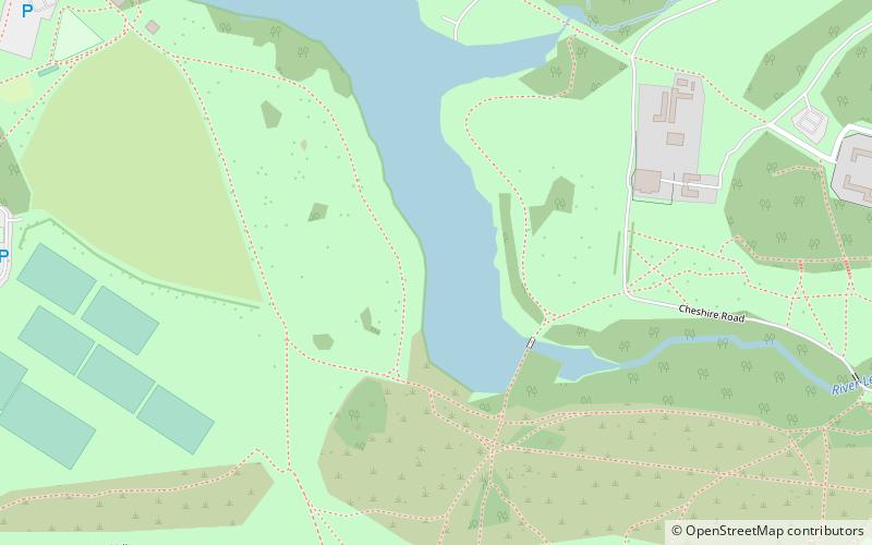
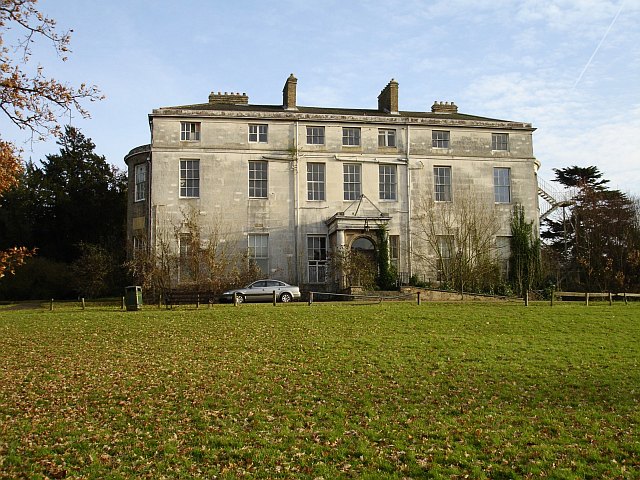
Mote Park is a 440-acre multi-use public park in Maidstone, Kent. Previously a country estate it was converted to landscaped park land at the end of the 18th century before becoming a municipal park. It includes the former stately home Mote House together with a miniature railway and a boating lake. A ground of the same name within the park has also been used as a first-class cricket ground by Kent County Cricket Club. ()
Elevation: 69 ft a.s.l.Coordinates: 51°15'54"N, 0°32'50"E
Day trips
Mote Park – popular in the area (distance from the attraction)
Nearby attractions include: Fremlin Walk, The Mall, Maidstone Museum, Maidstone Town Hall.
Frequently Asked Questions (FAQ)
Which popular attractions are close to Mote Park?
Nearby attractions include River Len LNR, Maidstone (19 min walk), Downswood, Maidstone (21 min walk), St Nicholas's Church, Maidstone (22 min walk), Vinters Valley Park, Maidstone (22 min walk).
How to get to Mote Park by public transport?
The nearest stations to Mote Park:
Bus
Train
Bus
- Boys Grammar School • Lines: 334 (19 min walk)
- Lower Stone Street • Lines: 334 (27 min walk)
Train
- Maidstone East (38 min walk)


