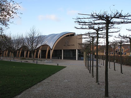
Queen's Gardens, Kingston upon Hull
Map

Gallery
Facts and practical information
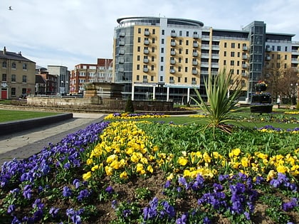
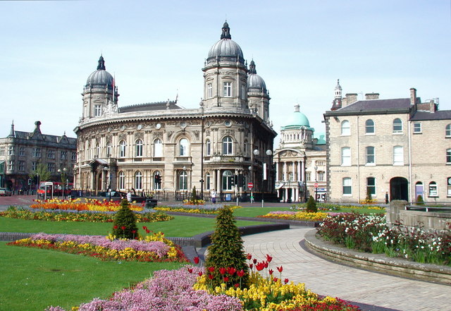
Queen's Gardens is a sequence of gardens in the centre of Kingston upon Hull, England. They are set out within a 9.75-acre area that until 1930 was filled with the waters of Queen's Dock. As the dock was not fully filled in, the gardens are largely below the level of the surrounding streets. ()
Elevation: 26 ft a.s.l.Coordinates: 53°44'37"N, 0°20'21"W
Address
Guildhall RdRiverside (Myton)Kingston upon Hull
Contact
+44 1482 300300
Social media
Add
Day trips
Queen's Gardens – popular in the area (distance from the attraction)
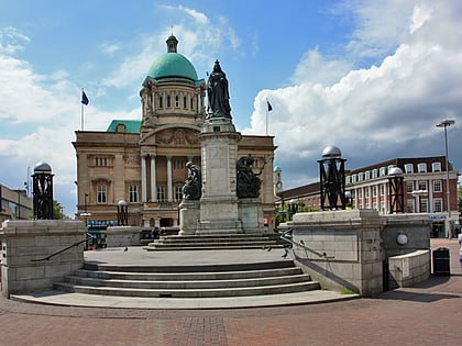
Nearby attractions include: Queen Victoria Square, Princes Quay, Hull Maritime Museum, Ferens Art Gallery.
Frequently Asked Questions (FAQ)
Which popular attractions are close to Queen's Gardens?
Nearby attractions include Queen Victoria Square, Kingston upon Hull (1 min walk), Lobster, Kingston upon Hull (1 min walk), Cod, Kingston upon Hull (1 min walk), Hull Maritime Museum, Kingston upon Hull (1 min walk).
How to get to Queen's Gardens by public transport?
The nearest stations to Queen's Gardens:
Bus
Train
Bus
- Paragon Interchange (9 min walk)
- City Centre George Street • Lines: 99 (10 min walk)
Train
- Hull Paragon Interchange (9 min walk)
