Tre'r Ceiri
Map

Gallery

Facts and practical information
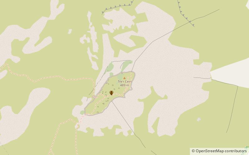
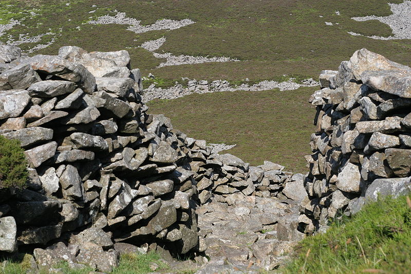
Tre'r Ceiri is a hillfort dating back to the Iron Age. The name means 'town of the giants', from cewri, plural of cawr, 'giant'. The settlement is located 450 metres above sea level on the slopes of Yr Eifl, a mountain on the north coast of the Llŷn Peninsula in Gwynedd, north-western Wales. Evidence suggests the settlement was first built around 200 BC, though most of the archaeological finds date from AD 150–400, showing the site continued as a settlement during the Roman occupation. ()
Coordinates: 52°58'31"N, 4°25'22"W
Location
Wales
ContactAdd
Social media
Add
Day trips
Tre'r Ceiri – popular in the area (distance from the attraction)
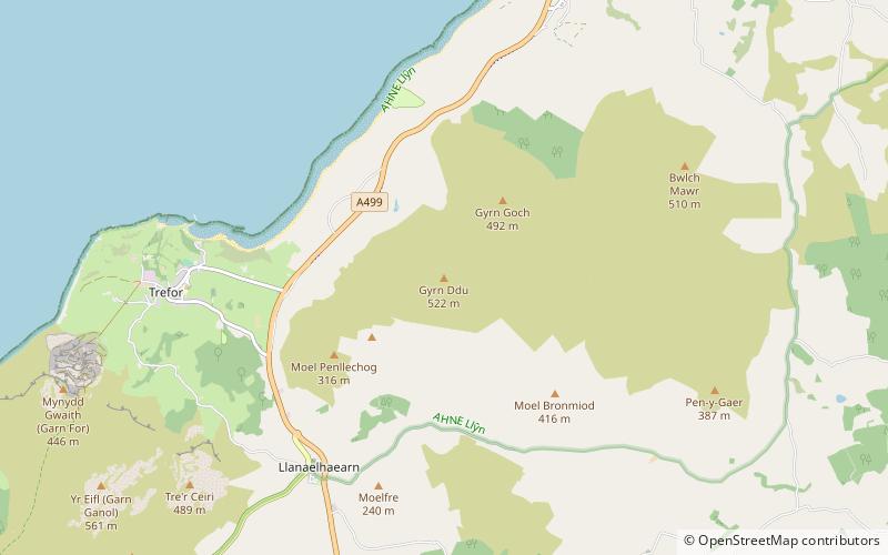
Nearby attractions include: Yr Eifl, Garn Boduan, Nant Gwrtheyrn, Gyrn Ddu.


