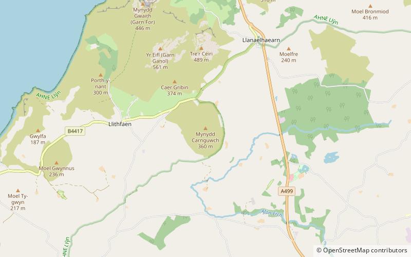
Carnguwch

Gallery (1)
Map
Map
Facts and practical information
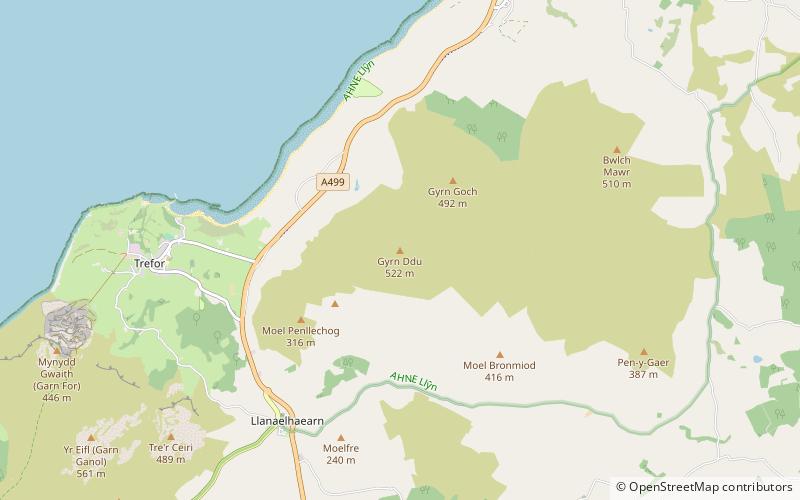
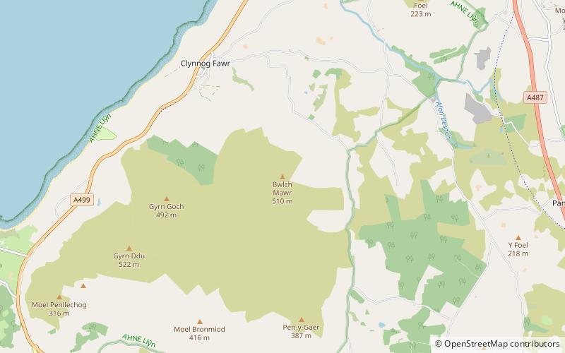
Carnguwch is a former civil parish in the Welsh county of Gwynedd. It was abolished in 1934, and incorporated into Pistyll. The parish included 1,179 feet high Mynydd Carnguwch. ()
Coordinates: 52°57'32"N, 4°25'17"W
Location
Wales
ContactAdd
Social media
Add
Day trips