Westminster Park, Chester
Map
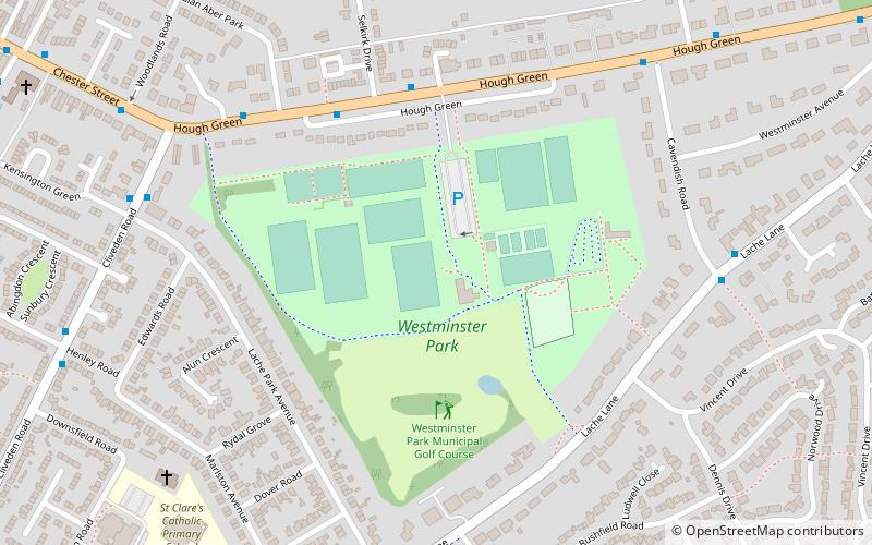
Map

Facts and practical information
Westminster Park is both a suburb to the west of Chester in England, and a large park the area takes its name after. Chester residents do not consider the area as a part of the Lache although the main route through Westminster Park is Lache Lane. In any case it can sometimes be difficult to tell where one suburb ends and another begins. ()
Elevation: 66 ft a.s.l.Coordinates: 53°10'36"N, 2°54'25"W
Address
Chester
ContactAdd
Social media
Add
Day trips
Westminster Park – popular in the area (distance from the attraction)
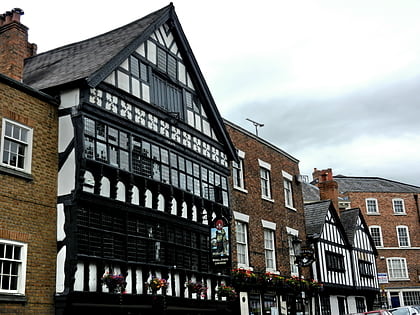
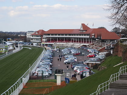
Nearby attractions include: Chester Golf Club, Bear and Billet, Chester Racecourse, The Falcon.
Frequently Asked Questions (FAQ)
Which popular attractions are close to Westminster Park?
Nearby attractions include Westminster Park Golf Course & Cafe, Chester (1 min walk), Curzon Park Abbey, Chester (8 min walk), St Mark's Church, Chester (10 min walk), Overleigh Cemetery, Chester (16 min walk).
How to get to Westminster Park by public transport?
The nearest stations to Westminster Park:
Bus
Bus
- Selkirk Drive • Lines: 16, 4 (5 min walk)
- Cliveden Road • Lines: 16, 4 (6 min walk)


