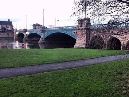
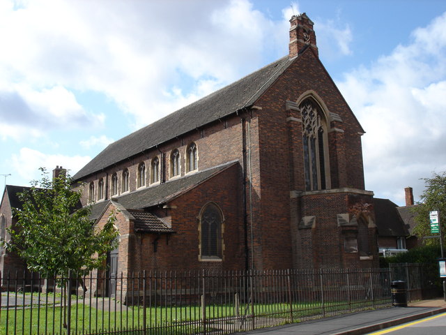
St Faith's Church, Nottingham
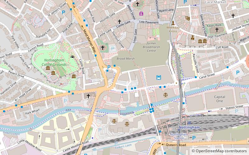
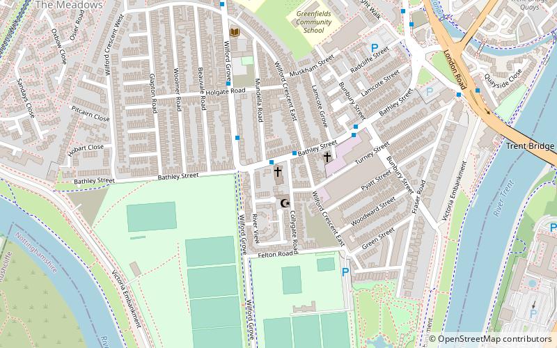
Map
Gallery
Facts and practical information
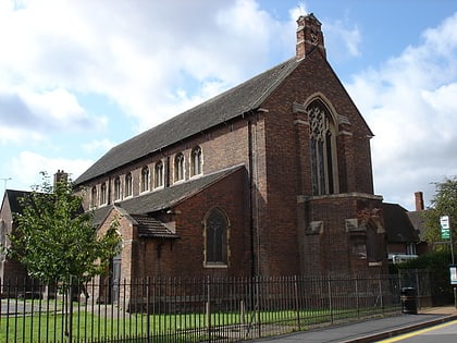
St Faith's Church, Nottingham is a former parish church in the Church of England in Nottingham. ()
Completed: 16 October 1915 (110 years ago)Capacity: 636Coordinates: 52°56'16"N, 1°8'39"W
Day trips
St Faith's Church – popular in the area (distance from the attraction)
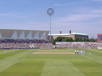
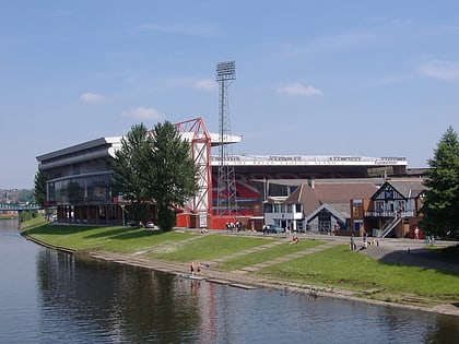
Nearby attractions include: Ye Olde Trip to Jerusalem, Trent Bridge, intu Broadmarsh, City Ground.
Frequently Asked Questions (FAQ)
Which popular attractions are close to St Faith's Church?
Nearby attractions include City War Memorial, Nottingham (7 min walk), St Saviour's in the Meadows, Nottingham (8 min walk), Trent Bridge, Nottingham (9 min walk), The Meadows, Nottingham (9 min walk).
How to get to St Faith's Church by public transport?
The nearest stations to St Faith's Church:
Bus
Tram
Train
Bus
- Collygate Road • Lines: 11, 11C (1 min walk)
- Bunbury Street • Lines: 11, 11C (3 min walk)
Tram
- Meadows Embankment • Lines: 2 (11 min walk)
- Queens Walk • Lines: 2 (11 min walk)
Train
- Nottingham (17 min walk)
