Kingston Bridge, London
Map
Gallery
Facts and practical information
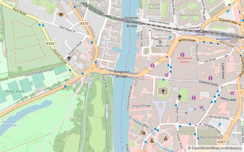
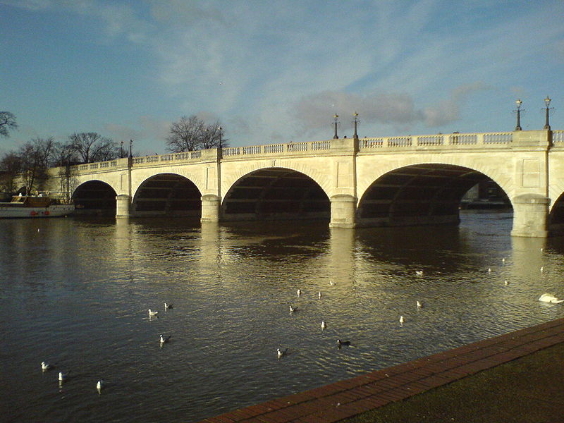
Kingston Bridge is a road bridge at Kingston upon Thames in south west London, England, carrying the A308 across the River Thames. It joins the town centre of Kingston in the Royal Borough of Kingston upon Thames to Hampton Court Park, Bushy Park, and the village of Hampton Wick in the London Borough of Richmond upon Thames. In 2005 it was carrying approximately 50,000 vehicles per day with up to 2,000 vehicles per hour in each direction during peak times. ()
Day trips
Kingston Bridge – popular in the area (distance from the attraction)
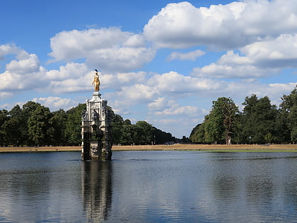
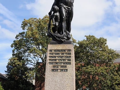
Nearby attractions include: Bentall Centre, Diana Fountain, Kingston upon Thames War Memorial, The Fighting Cocks.
Frequently Asked Questions (FAQ)
Which popular attractions are close to Kingston Bridge?
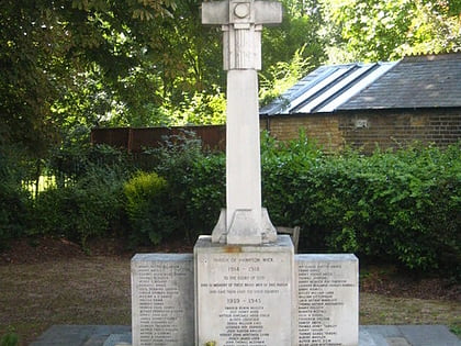
Nearby attractions include Hampton Wick, London (3 min walk), Hampton Wick War Memorial, Kingston upon Thames (3 min walk), All Saints Church, London (4 min walk), Kingston Railway Bridge, London (5 min walk).
How to get to Kingston Bridge by public transport?
The nearest stations to Kingston Bridge:
Bus
Train
Bus
- Lower Teddington Road • Lines: 281, 285 (3 min walk)
- All Saints Church / Clarence Street • Lines: 411, 461 (4 min walk)
Train
- Hampton Wick (8 min walk)
- Kingston (9 min walk)
 Tube
Tube
