St Raphael's Church, London
Map

Map

Facts and practical information
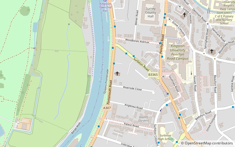
St Raphael's Church, Surbiton is the Roman Catholic parish church of Surbiton. It is dedicated to Saint Raphael and located on Portsmouth Road. It is Grade II* listed. ()
Coordinates: 51°24'8"N, 0°18'27"W
Address
Portsmouth RdKingston upon ThamesLondon KT1 2NA
Contact
+44 20 8541 4999
Social media
Add
Day trips
St Raphael's Church – popular in the area (distance from the attraction)
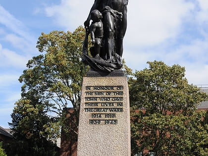
Nearby attractions include: Bentall Centre, Kingston upon Thames War Memorial, The Fighting Cocks, Kingston Museum.
Frequently Asked Questions (FAQ)
Which popular attractions are close to St Raphael's Church?
Nearby attractions include Surbiton Park, Kingston upon Thames (5 min walk), Raven's Ait, London (8 min walk), Rose Theatre Kingston, London (12 min walk), Kingston upon Thames Guildhall, Kingston upon Thames (12 min walk).
How to get to St Raphael's Church by public transport?
The nearest stations to St Raphael's Church:
Bus
Train
Bus
- St Raphael's Church • Lines: 458, 513, 514, 715 (2 min walk)
- Surbiton Road / Milestone House • Lines: 465 (2 min walk)
Train
- Surbiton (18 min walk)
- Kingston (21 min walk)

 Tube
Tube


