Grafham Water
Map
Gallery
Facts and practical information
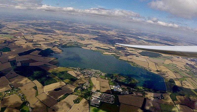
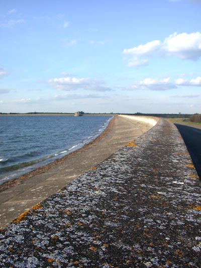
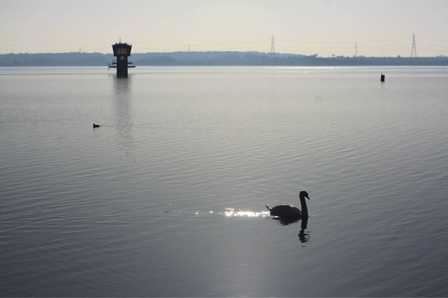
Grafham Water is an 806.3-hectare biological Site of Special Scientific Interest north of Perry, Huntingdonshire. It was designated an SSSI in 1986. It is a reservoir with a circumference of about 16 km, is 21 m deep at maximum, and is the eighth largest reservoir in England by volume and the third largest by area at 6.27 km2. An area of 114 ha at the western end is a nature reserve managed by the Wildlife Trust for Bedfordshire, Cambridgeshire and Northamptonshire. ()
Built: 1965 (61 years ago)Length: 2.67 miWidth: 7710 ftMaximum depth: 69 ftElevation: 138 ft a.s.l.Coordinates: 52°17'53"N, 0°19'2"W
Location
England
ContactAdd
Social media
Add
Day trips
Grafham Water – popular in the area (distance from the attraction)
Nearby attractions include: Huntingdon Racecourse, Kimbolton, Riverside Miniature Railway, Brampton Wood.


