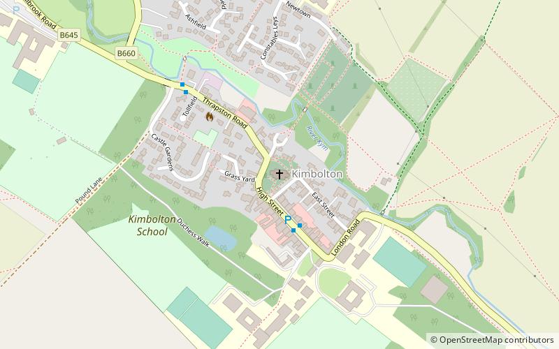
Kimbolton

Gallery (2)
Map
Map
Gallery
Facts and practical information
Kimbolton is a town and civil parish in England. Kimbolton is about 9 miles west of Huntingdon and 14 miles north of Bedford. Kimbolton is administered as part of Cambridgeshire; however it is situated within Huntingdonshire, which is an historic county of England and is now a non-metropolitan district of Cambridgeshire. The parish includes the hamlet of Stonely. ()
Day trips