Watercress Wildlife Site, St Albans
Map

Map

Facts and practical information
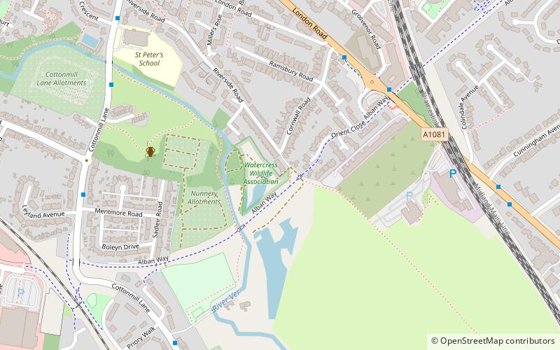
Watercress Wildlife Site is a 1.2-hectare Local Nature Reserve in St Albans, Hertfordshire, England. It is owned by St Albans City Council and managed by the Watercress Wildlife Association, a registered charity. The boundaries of the site are the Alban Way, the River Ver and the houses of Riverside Road. ()
Elevation: 262 ft a.s.l.Coordinates: 51°44'38"N, 0°19'50"W
Address
St Albans
ContactAdd
Social media
Add
Day trips
Watercress Wildlife Site – popular in the area (distance from the attraction)
Nearby attractions include: The Boot, St Albans Cathedral, St Albans Museums, Clock Tower.
Frequently Asked Questions (FAQ)
Which popular attractions are close to Watercress Wildlife Site?
Nearby attractions include Sopwell Priory, St Albans (5 min walk), St Albans South Signal Box, St Albans (10 min walk), Gallery Rouge, St Albans (17 min walk), Clock Tower, St Albans (18 min walk).
How to get to Watercress Wildlife Site by public transport?
The nearest stations to Watercress Wildlife Site:
Bus
Train
Bus
- Iceland • Lines: 84 (12 min walk)
- St Albans City Railway Station • Lines: 724, 84 (13 min walk)
Train
- St Albans City (13 min walk)
- St Albans Abbey (14 min walk)


