Alban Way
Map

Map

Facts and practical information
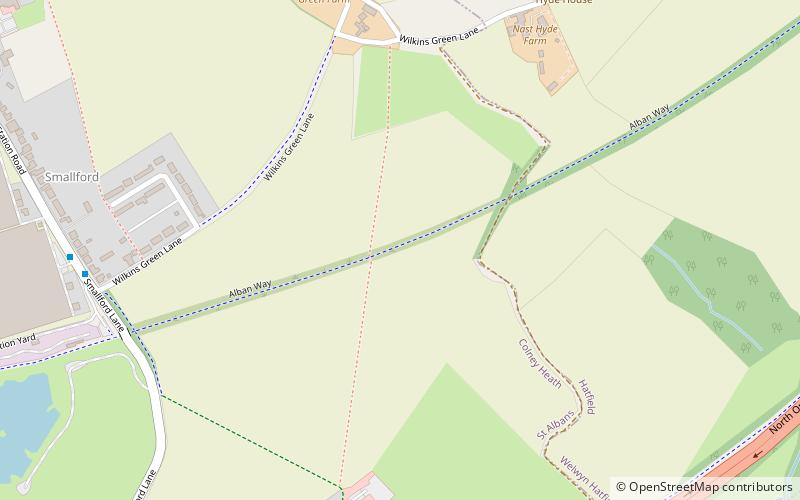
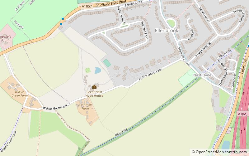
The Alban Way is a traffic free multi-user route along a former railway line in Hertfordshire, England, that has been constructed along the route of the former Hatfield to St Albans railway line. It runs from St Albans, close to St Albans Abbey railway station and the site of Roman Verulamium, through Fleetville and Smallford to Hatfield, ending close to Hatfield railway station. It is 7.5 miles long. ()
Length: 6.5 miCoordinates: 51°45'7"N, 0°15'32"W
Location
England
ContactAdd
Social media
Add
Day trips
Alban Way – popular in the area (distance from the attraction)
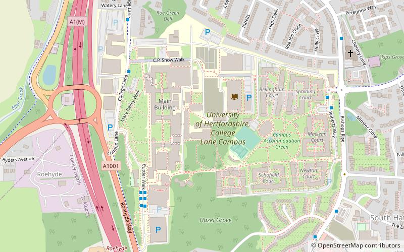
Nearby attractions include: The Galleria, University of Hertfordshire, Colney Heath Local Nature Reserve, Torilla.


