Angel & Greyhound Meadow, Oxford
Map

Map

Facts and practical information
Also known as Angel Meadow, the Angel & Greyhound Meadow is a flood-meadow adjoining the River Cherwell just north of Magdalen Bridge, Oxford, England and opposite Magdalen College. It derives its name from the old Angel and Greyhound coaching inns in the High Street, for which it served as a horse-pasture. There is now a pub named the Angel & Greyhound in St Clement's, an interesting example of an inn named after a meadow named after two inns. ()
Elevation: 187 ft a.s.l.Coordinates: 51°45'8"N, 1°14'31"W
Day trips
Angel & Greyhound Meadow – popular in the area (distance from the attraction)
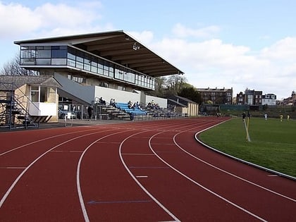
Nearby attractions include: University of Oxford Botanic Garden, Roger Bannister running track, Magdalen Bridge, St Peter-in-the-East.
Frequently Asked Questions (FAQ)
Which popular attractions are close to Angel & Greyhound Meadow?
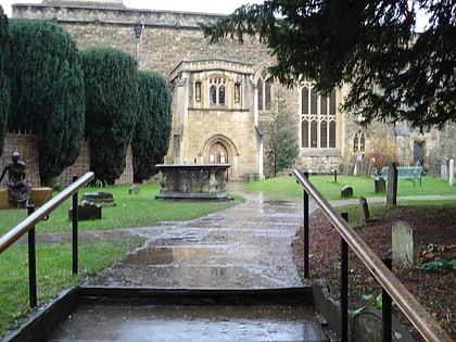
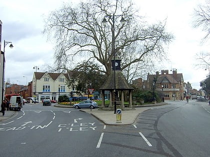
Nearby attractions include Addison's Walk, Oxford (4 min walk), Science Oxford, Oxford (4 min walk), The Plain, Oxford (5 min walk), Magdalen Bridge, Oxford (5 min walk).
How to get to Angel & Greyhound Meadow by public transport?
The nearest stations to Angel & Greyhound Meadow:
Bus
Bus
- St Clements Street • Lines: Lhr, Tube, X90 (4 min walk)
- Glebe Street • Lines: U1, X3 (5 min walk)


