High Street, Oxford


Facts and practical information
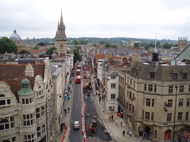
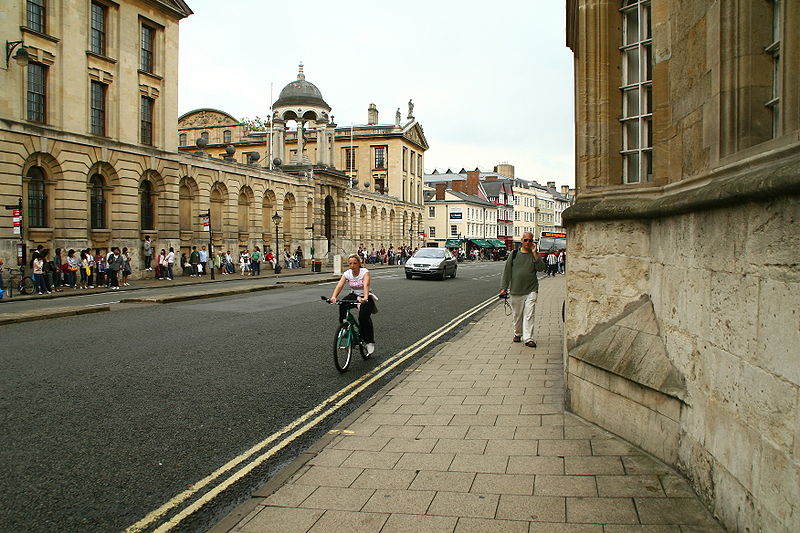
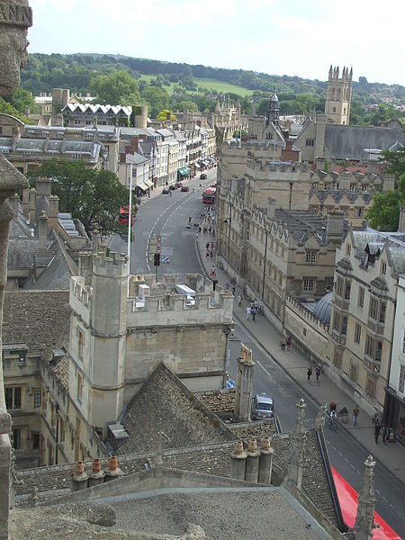
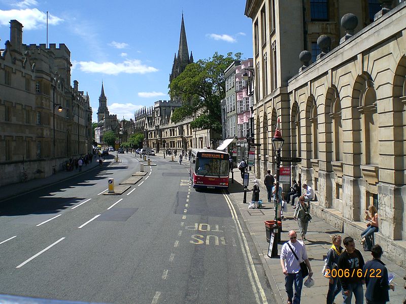
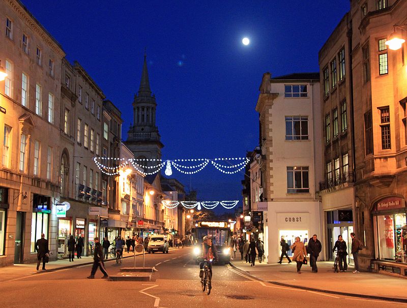
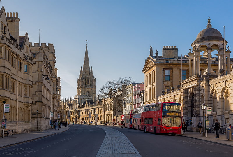
High Street, commonly referred to as the "High," is a bustling artery of commerce and history in the heart of Oxford, United Kingdom. This iconic street is renowned for its vibrant shopping district, offering a harmonious blend of traditional boutiques, modern retailers, and quaint bookshops that cater to the diverse tastes of both locals and visitors.
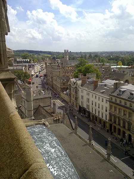
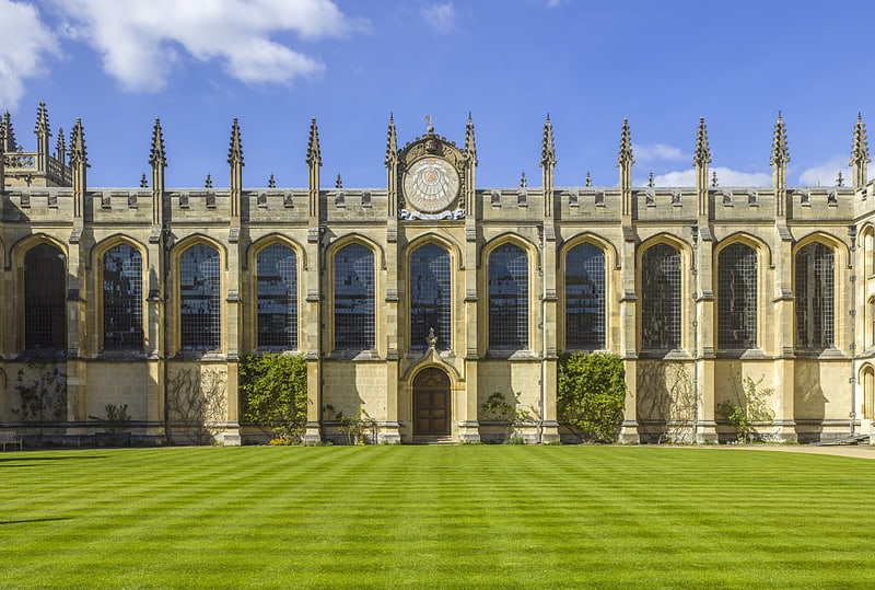
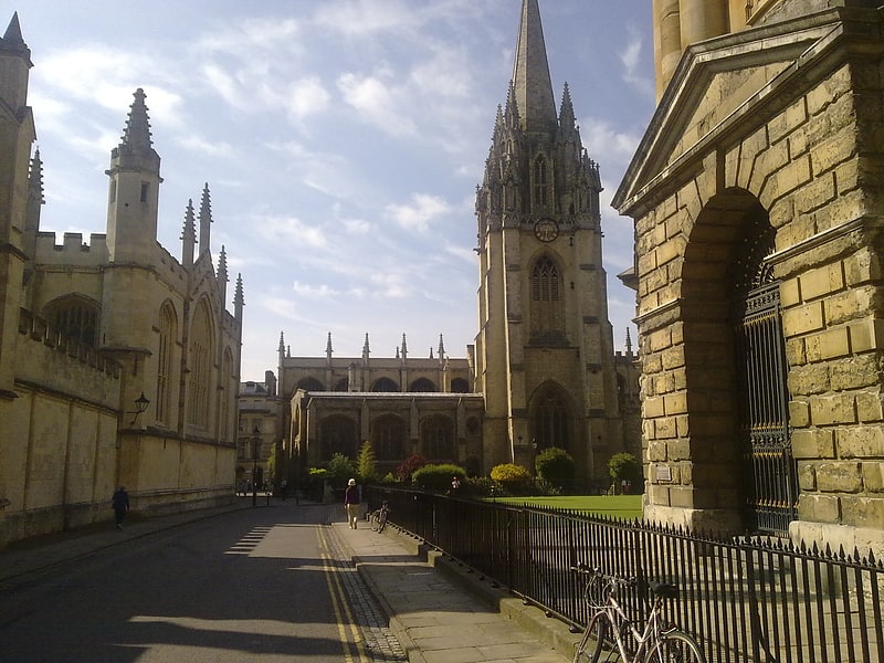
Stretching from Carfax Tower to Magdalen Bridge, High Street is not only a shopper's paradise but also an architectural marvel, showcasing a stunning array of buildings that reflect the city's rich heritage. The street is lined with historic structures, including the University Church of St Mary the Virgin, which provides a breathtaking panoramic view of the city from its tower.
High Street's charm is further enhanced by its role as a cultural hub, with numerous cafés, restaurants, and historic pubs providing an inviting atmosphere for those looking to unwind after a day of shopping or sightseeing. The street also hosts a variety of markets and seasonal events that add to its vibrant character.
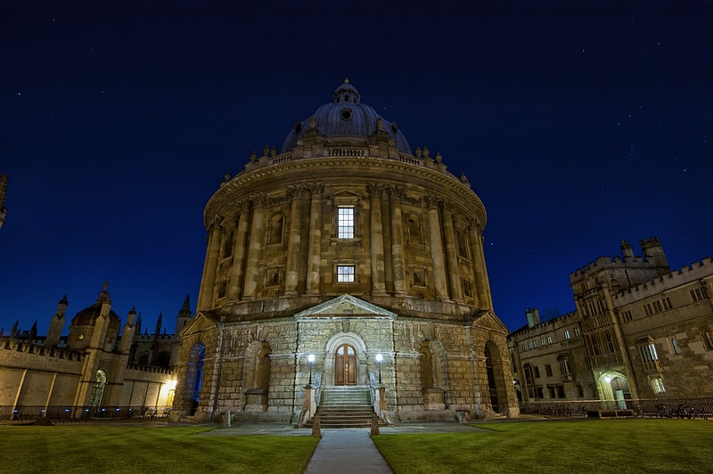
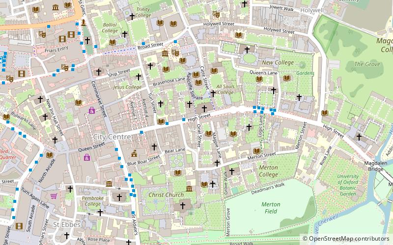
Accessibility is a key feature of High Street, with well-connected public transport and pedestrian-friendly pathways ensuring a pleasant experience for all visitors. The street's proximity to other notable landmarks, such as the Bodleian Library and the Radcliffe Camera, makes it an integral part of the Oxford experience.
High StHolywellOxford OX1
- Bus
- Train
 Bus
Bus
- Calculate routeQueens Lane 2 min walk
- Calculate routeTurl Street 4 min walk
- Calculate routeHigh Street 6 min walk
- Calculate routeOxford 20 min walk


Frequently Asked Questions (FAQ)
Which popular attractions are close to High Street?
How to get to High Street by public transport?
Bus
- Queens Lane • Lines: 10, 15, 280, 3A, 5A, Lgw, Lhr, Tube, U1, X3, X90 (2 min walk)
- Turl Street • Lines: 280, 3A, U1 (4 min walk)
Train
- Oxford (20 min walk)