Coe Fen, Cambridge
Map

Gallery

Facts and practical information
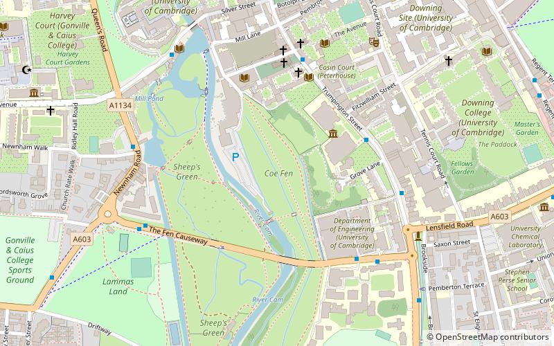
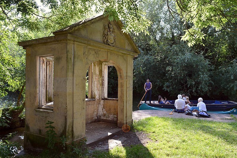
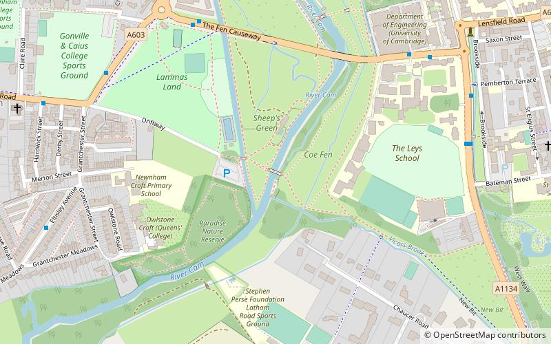
Coe Fen is a semi-rural meadowland area to the east of the River Cam in the south of the city of Cambridge, England. It lies at the back of Peterhouse to the north, the Fitzwilliam Museum, and The Leys School to the south. The fen is straddled by the Fen Causeway across the Cam. There is also a footbridge at the back of The Leys School to the south and Crusoe Bridge is just north of the Fen Causeway Bridge. ()
Elevation: 30 ft a.s.l.Coordinates: 52°11'57"N, 0°7'5"E
Day trips
Coe Fen – popular in the area (distance from the attraction)
Nearby attractions include: Fitzwilliam Museum, St Andrew's Street, Primavera, Little St Mary's.
Frequently Asked Questions (FAQ)
Which popular attractions are close to Coe Fen?
Nearby attractions include Peterhouse, Cambridge (2 min walk), Fitzwilliam Museum, Cambridge (3 min walk), Fen Causeway, Cambridge (4 min walk), Trumpington Street, Cambridge (4 min walk).
How to get to Coe Fen by public transport?
The nearest stations to Coe Fen:
Bus
Train
Bus
- Fitzwilliam Museum • Lines: 199, U (4 min walk)
- Pembroke Street • Lines: 199, U (5 min walk)
Train
- Cambridge (23 min walk)


