St Giles in the Fields, London
Map
Gallery
Facts and practical information
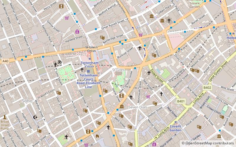
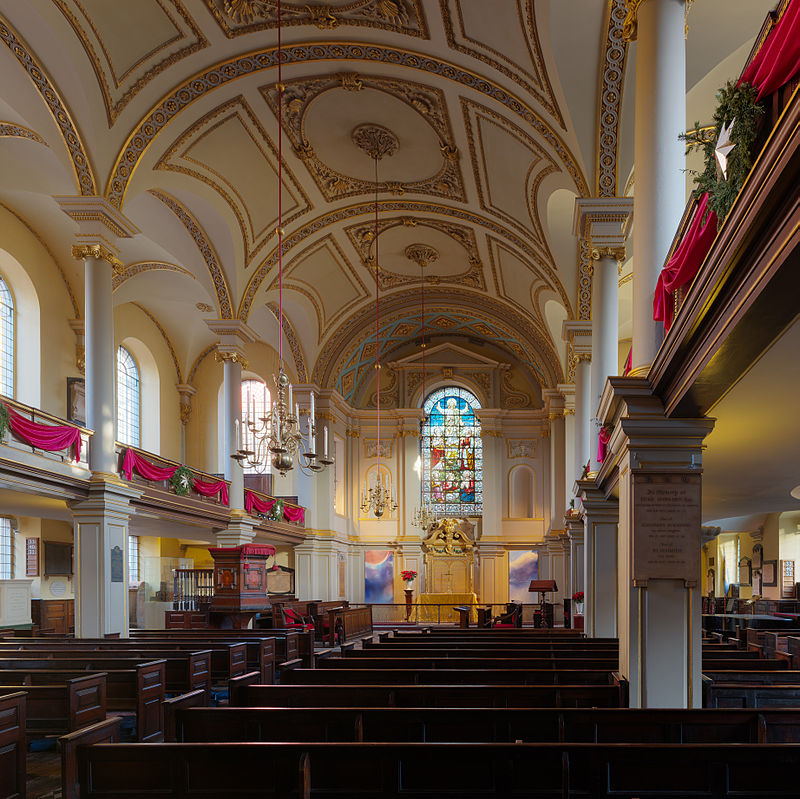
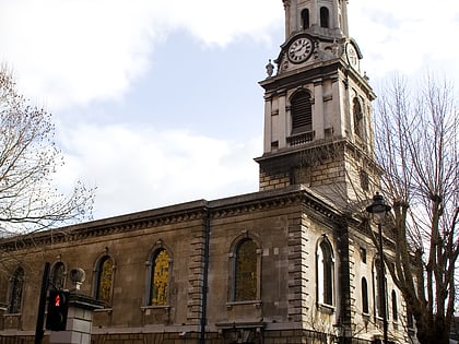
St Giles-in-the-Fields, sometimes known as the Poets' Church, is in the West End of London, close to St Giles Circus and Tottenham Court Road tube station. The church gives its name to the surrounding district named St Giles which sits between Seven Dials, Bloomsbury, Holborn and Soho. St Giles-in-the-Fields is part of the Church of England Diocese of London. The present church is the third on the site since the parish was founded in 1101. It was rebuilt most recently in 1731–1733 in Palladian style to designs by the architect Henry Flitcroft. ()
Day trips
St Giles in the Fields – popular in the area (distance from the attraction)
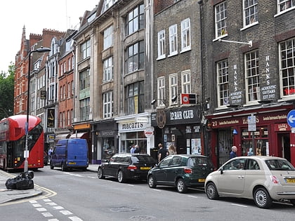
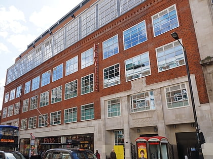
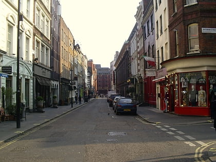
Nearby attractions include: Denmark Street, Neal's Yard, Foyles, Arthur Beale.
Frequently Asked Questions (FAQ)
Which popular attractions are close to St Giles in the Fields?
Nearby attractions include Denmark Street, London (2 min walk), Phoenix Garden, London (2 min walk), Centre Point, London (2 min walk), St Giles Circus, London (2 min walk).
How to get to St Giles in the Fields by public transport?
The nearest stations to St Giles in the Fields:
Bus
Metro
Train
Ferry
Bus
- Tottenham Court Road Station • Lines: 14, 176, 19, 38, N19, N38, N41 (1 min walk)
- St Giles High Street • Lines: N242 (2 min walk)
Metro
- Tottenham Court Road • Lines: Central, Northern (3 min walk)
- Covent Garden • Lines: Piccadilly (7 min walk)
Train
- Charing Cross (15 min walk)
- London Euston (25 min walk)
Ferry
- Embankment • Lines: Green Tour, Rb1, Rb1X, Rb2, Rb6 (17 min walk)
- Festival Pier • Lines: Green Tour (19 min walk)
 Tube
Tube