Seven Dials, London
Map

Gallery
Facts and practical information
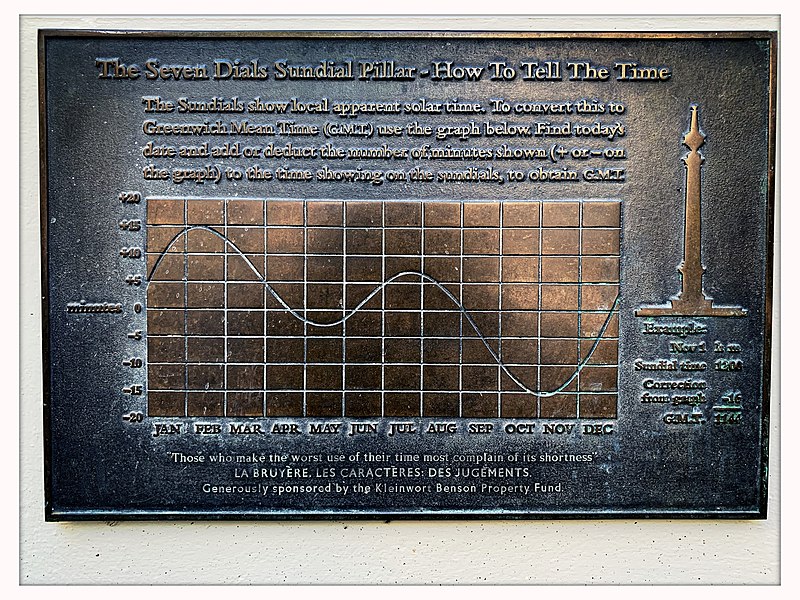
Seven Dials is a road junction in the St Giles district of the London Borough of Camden, close to Covent Garden in the West End of London. Seven streets converge at the roughly circular junction, at the centre of which is a column bearing six sundials – the column had been commissioned before a late-stage alteration of the plans from an original six roads to seven. ()
Address
Camden (Holborn and Covent Garden)London
Contact
+44 20 7420 9390
Social media
Add
Day trips
Seven Dials – popular in the area (distance from the attraction)
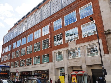
Nearby attractions include: Denmark Street, Neal's Yard, Foyles, Arthur Beale.
Frequently Asked Questions (FAQ)
Which popular attractions are close to Seven Dials?
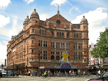
Nearby attractions include Cambridge Theatre, London (1 min walk), Soho Baptist Chapel, London (1 min walk), Earlham Street Market, London (1 min walk), Neal's Yard, London (2 min walk).
How to get to Seven Dials by public transport?
The nearest stations to Seven Dials:
Bus
Metro
Train
Ferry
Bus
- Cambridge Circus • Lines: 38, N38 (3 min walk)
- Denmark Street • Lines: 38, N38 (4 min walk)
Metro
- Covent Garden • Lines: Piccadilly (4 min walk)
- Leicester Square • Lines: Northern, Piccadilly (4 min walk)
Train
- Charing Cross (12 min walk)
- London Waterloo (25 min walk)
Ferry
- Embankment • Lines: Green Tour, Rb1, Rb1X, Rb2, Rb6 (14 min walk)
- Festival Pier • Lines: Green Tour (16 min walk)

 Tube
Tube