Victoria Park, Southport
Map

Map

Facts and practical information
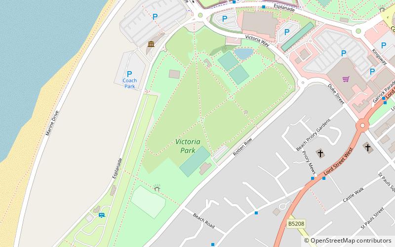
Victoria Park Southport, Merseyside, England, is a public park. It is the venue for Southport Flower Show and several musical events. The show is traditionally held in August each year and has attracted both national and international film and TV coverage since the 1950s ()
Elevation: 13 ft a.s.l.Coordinates: 53°38'39"N, 3°1'12"W
Address
Rotten RowSouthport
ContactAdd
Social media
Add
Day trips
Victoria Park – popular in the area (distance from the attraction)
Nearby attractions include: Pleasureland Southport, Lord Street, Wayfarers Arcade, Marine Way Bridge.
Frequently Asked Questions (FAQ)
Which popular attractions are close to Victoria Park?
Nearby attractions include St James' Church, Southport (11 min walk), Southport Model Railway Village, Southport (12 min walk), Southport Zoo, Southport (14 min walk), Monumental Obelisk, Southport (14 min walk).
How to get to Victoria Park by public transport?
The nearest stations to Victoria Park:
Bus
Train
Bus
- Lord St/Duke St • Lines: 347 (9 min walk)
- Albert Road/Manchester Road • Lines: 347 (32 min walk)
Train
- Southport Princes Park (10 min walk)
- Southport Marine Parade (17 min walk)


