Oram's Arbour, Winchester
Map

Gallery

Facts and practical information
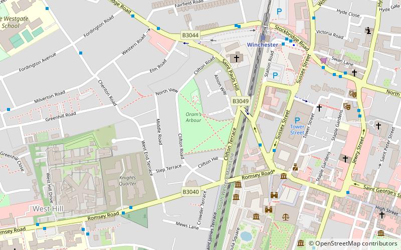
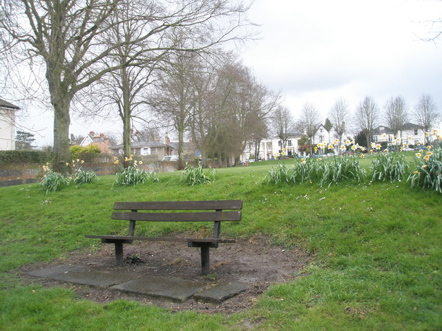
Oram's Arbour was an enclosed settlement during the Iron Age, in what is now Winchester, England. Limited dating evidence suggests the enclosure was dug in the early-mid first century BC. The town wall of the Roman civitas capital of Venta Belgarum which succeeded the Iron Age settlement cut across its eastern end. ()
Elevation: 259 ft a.s.l.Coordinates: 51°3'54"N, 1°19'22"W
Day trips
Oram's Arbour – popular in the area (distance from the attraction)
Nearby attractions include: Winchester Cathedral, South Downs Way, Winchester Castle, Royal Green Jackets Museum.
Frequently Asked Questions (FAQ)
Which popular attractions are close to Oram's Arbour?
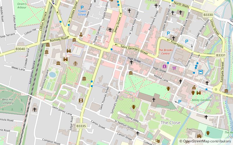
Nearby attractions include Royal Green Jackets Museum, Winchester (4 min walk), The Rifles Museum, Winchester (5 min walk), Castle Hill, Winchester (5 min walk), Westgate, Winchester (5 min walk).
How to get to Oram's Arbour by public transport?
The nearest stations to Oram's Arbour:
Train
Bus
Train
- Winchester (6 min walk)
Bus
- Winchester Railway Station • Lines: 1 (6 min walk)
- City Road • Lines: 1 (8 min walk)


