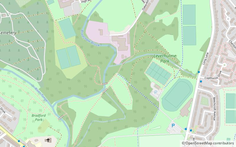
Leverhulme Park, Bolton
Map
Facts and practical information
Leverhulme Park is the largest park in the town of Bolton, Greater Manchester. It was donated to the people of Bolton by, and named after, the late Lord Leverhulme. The park is bounded by the Breightmet, Darcy Lever, the Haulgh, and Tonge Fold. Since its earlier days as simply a park, Leverhulme Park has diversified. It is now home to a community centre, an athletics stadium and five-a-side football pitches. It was also the home to the Bolton Show which ran intermittently for more than fifty years. ()
Elevation: 230 ft a.s.l.Coordinates: 53°34'30"N, 2°23'60"W
Address
Bolton
ContactAdd
Social media
Add
Getting there by public transportation
Public transportation stops near this location
- Bus
- Train
 Bus
Bus
- Calculate routeBolton 27 min walk
- Calculate routeBradshawgate/Great Moor Street 28 min walk
- Calculate routeBolton Interchange Bus Station 29 min walk
- Calculate routeBolton Interchange 29 min walk
- Calculate routeDeansgate/Bridge Street 31 min walk
Day trips


Frequently Asked Questions (FAQ)
Which popular attractions are close to Leverhulme Park?
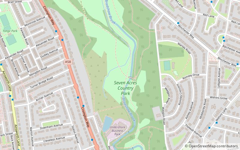
Nearby attractions include St Stephen and All Martyrs' Church, Bolton (8 min walk), Tonge, Bolton (12 min walk), Seven Acres Country Park, Bolton (19 min walk), Burnden, Bolton (22 min walk).
How to get to Leverhulme Park by public transport?
The nearest stations to Leverhulme Park:
Train
Bus
Train
- Bolton (27 min walk)
Bus
- Bradshawgate/Great Moor Street • Lines: 125 (28 min walk)
- Bolton Interchange Bus Station (29 min walk)