Seven Acres Country Park, Bolton
Map
Facts and practical information
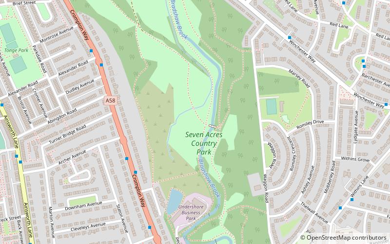
Seven Acres Country Park is a country park and Local Nature Reserve in Bolton, Greater Manchester. It lies between the areas of Tonge and Breightmet, and is dissected by Bradshaw Brook. Seven Acres Country Park is more than 300 years old, and is depicted on maps dating back to at least 1764. ()
Elevation: 259 ft a.s.l.Coordinates: 53°35'9"N, 2°23'59"W
Address
Bolton
ContactAdd
Social media
Add
Getting there by public transportation
Public transportation stops near this location
- Bus
- Train
 Bus
Bus
- Calculate routeHall i' th' Wood 25 min walk
- Calculate routeBolton 35 min walk
- Calculate routeBradshawgate/Great Moor Street 32 min walk
- Calculate routeDeansgate/Bridge Street 32 min walk
- Calculate routeBolton Interchange Bus Station 35 min walk
- Calculate routeBolton Interchange 35 min walk
Day trips


Frequently Asked Questions (FAQ)
Which popular attractions are close to Seven Acres Country Park?
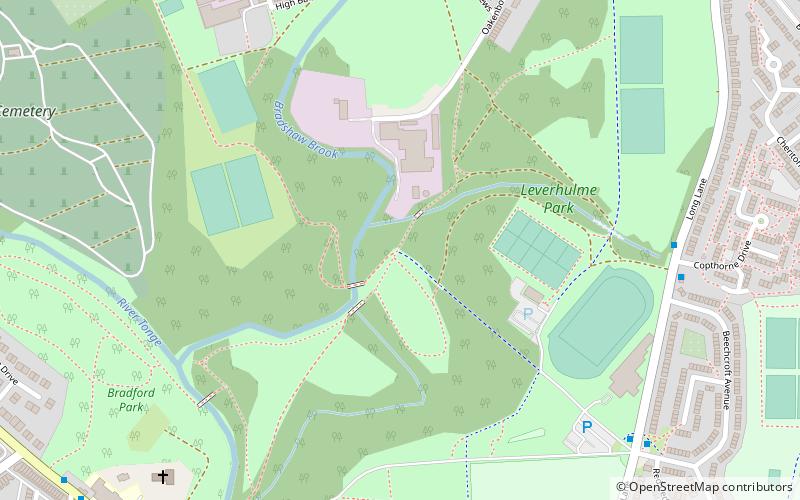
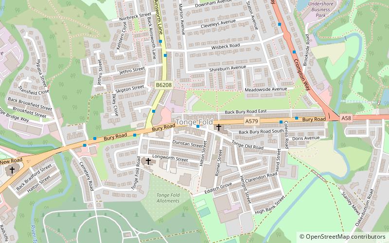
Nearby attractions include Tonge, Bolton (12 min walk), Leverhulme Park, Bolton (19 min walk).
How to get to Seven Acres Country Park by public transport?
The nearest stations to Seven Acres Country Park:
Train
Bus
Train
- Hall i' th' Wood (25 min walk)
- Bolton (35 min walk)
Bus
- Bradshawgate/Great Moor Street • Lines: 125 (32 min walk)
- Deansgate/Bridge Street • Lines: 125 (32 min walk)