Stanely Castle, Paisley
Map
Map

Facts and practical information
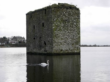
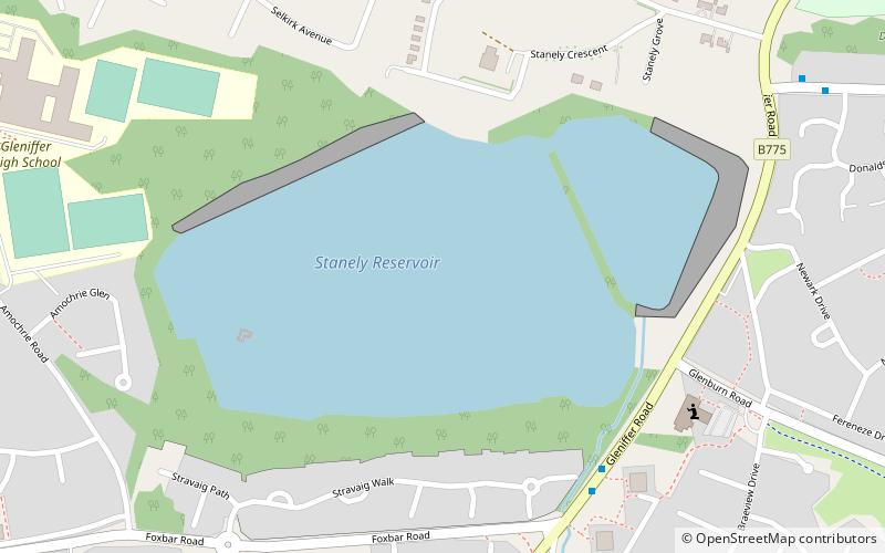
Stanely Castle is located in the waters of Stanely Reservoir, to the south of Paisley, Scotland, at the foot of the Gleniffer Braes. It was probably built in the early 15th century, on an island within a marsh. The castle is now a ruin. Since 1837 it has been partially submerged by the reservoir, and is completely inaccessible. When the water is drained it can be seen that the castle stands on a narrow promontory, which is connected to the reservoir bank on the southwest. ()
Day trips
Stanely Castle – popular in the area (distance from the attraction)
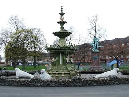
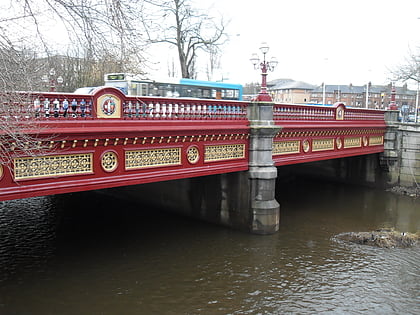
Nearby attractions include: Paisley Abbey, St Mirren Park, Paisley Town Hall, Coats Observatory.
Frequently Asked Questions (FAQ)
How to get to Stanely Castle by public transport?
The nearest stations to Stanely Castle:
Bus
Train
Bus
- Paisley, Brediland Road / Garry Drive • Lines: 61 (14 min walk)
Train
- Paisley Canal (39 min walk)
