Digswell Viaduct, Welwyn Garden City
Map

Map

Facts and practical information
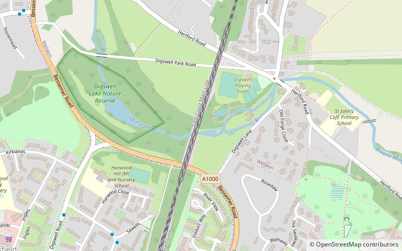
The Digswell Viaduct, also called Welwyn Viaduct, is a railway viaduct that carries the East Coast Main Line over the River Mimram in the county of Hertfordshire in England. A prominent local landmark, it is located between Welwyn Garden City and Digswell. It is just to the south of Welwyn North railway station. ()
Coordinates: 51°49'6"N, 0°11'41"W
Address
Welwyn Garden City
ContactAdd
Social media
Add
Day trips
Digswell Viaduct – popular in the area (distance from the attraction)
Nearby attractions include: Howard Centre, Welwyn Roman Baths, Sherrardspark Wood, Stanborough Reedmarsh.
Frequently Asked Questions (FAQ)
How to get to Digswell Viaduct by public transport?
The nearest stations to Digswell Viaduct:
Bus
Train
Bus
- Nursery Hill • Lines: 403 (7 min walk)
- Digswell Road • Lines: 403 (8 min walk)
Train
- Welwyn North (11 min walk)


