Foots Cray Meadows, London
Facts and practical information
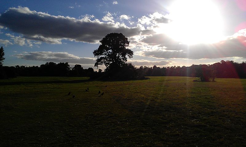
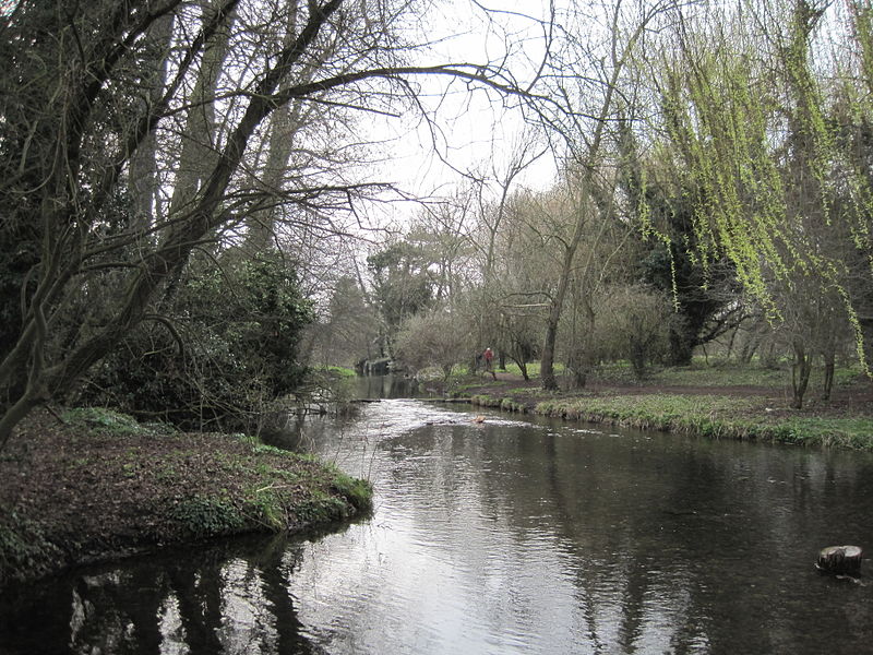
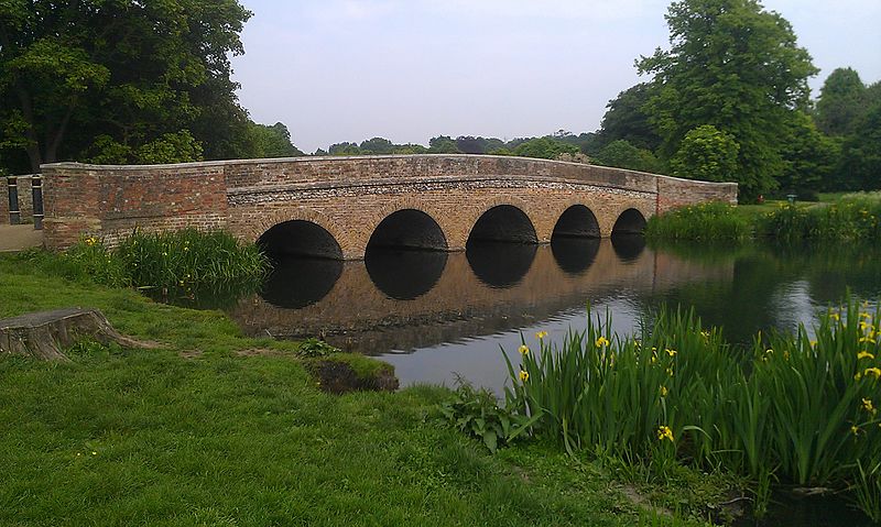
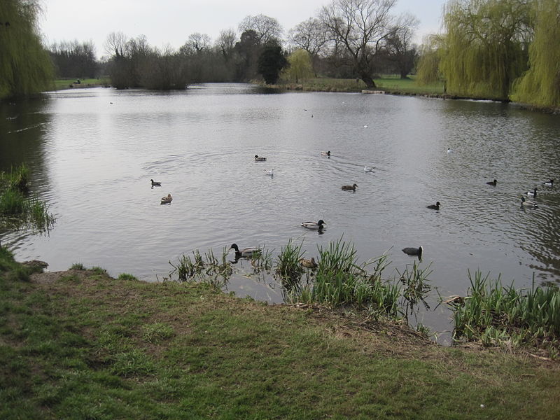
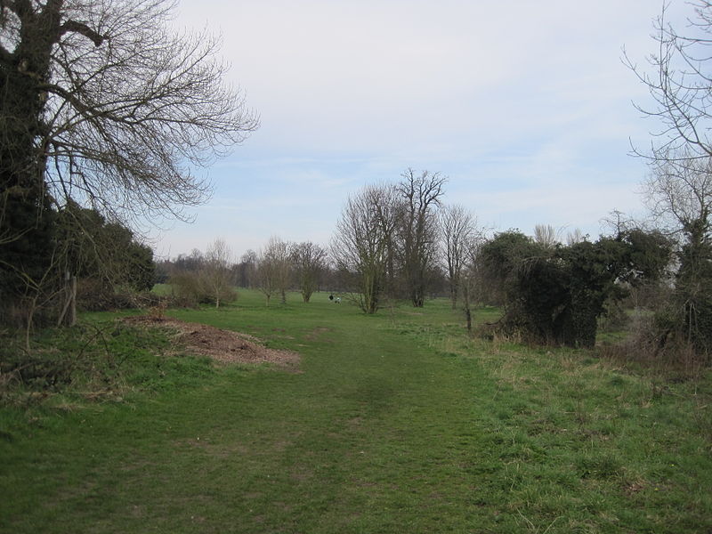
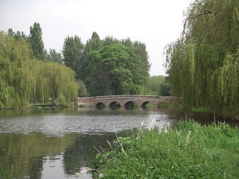
Foots Cray Meadows is an area of parkland and woodland 97 hectares in size, within the London Borough of Bexley, England. It borders the suburbs of Albany Park, Sidcup, Foots Cray, North Cray and Ruxley. The River Cray runs through it in a north-easterly direction. The London Loop, a public recreational walking path around London, also known as the "M25 for walkers", runs through the meadows parallel to the river from Sidcup Place, just south of the meadows. Two notable bridges cross the River Cray in the meadows: Five Arches bridge and the smaller Penny Farthing Bridge. ()
The SpinneyBexley (Foots Cray)London
Foots Cray Meadows – popular in the area (distance from the attraction)
Nearby attractions include: Broadway Shopping Centre, Red House, Hall Place and Gardens, Lamorbey Park.
Frequently Asked Questions (FAQ)
How to get to Foots Cray Meadows by public transport?
Bus
- Parsonage Lane / North Cray Church • Lines: 492 (9 min walk)
- Hail & Ride Maylands Drive • Lines: B14 (10 min walk)
Train
- Albany Park (17 min walk)
- Sidcup (30 min walk)



 Tube
Tube


