Hall Place and Gardens, London
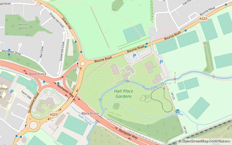
Map

Gallery

Facts and practical information
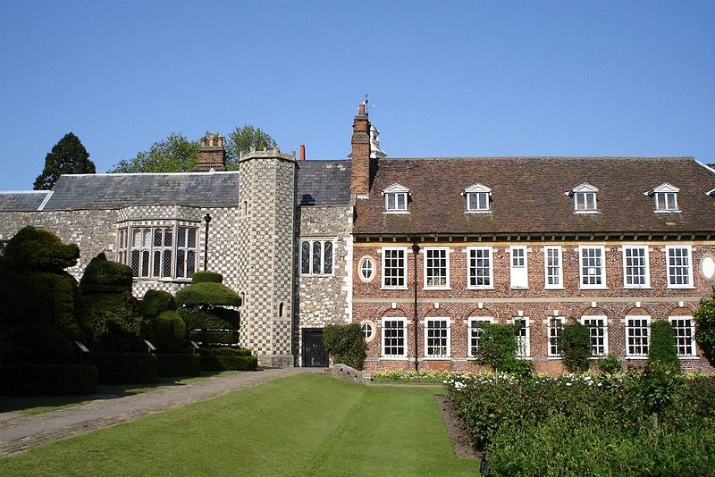
Hall Place is a stately home in the London Borough of Bexley in south-east London, built in 1537 for Sir John Champneys, a wealthy merchant and former Lord Mayor of London. The house was extended in 1649 by Sir Robert Austen, a merchant from Tenterden in Kent. The house is a Grade I listed building and Scheduled Ancient Monument, and surrounded by a 65-hectare award-winning garden. It is situated on the A223, Bourne Road, south of Watling Street and north of the Black Prince interchange of the A2 dual carriageway and two lesser roads. ()
Elevation: 43 ft a.s.l.Coordinates: 51°26'52"N, 0°9'34"E
Day trips
Hall Place and Gardens – popular in the area (distance from the attraction)
Nearby attractions include: Broadway Shopping Centre, Bexley Civic Offices, Bexleyheath, Black Prince.
Frequently Asked Questions (FAQ)
Which popular attractions are close to Hall Place and Gardens?
Nearby attractions include Black Prince, London (6 min walk), Bexley Civic Offices, Dartford (16 min walk), London Borough of Bexley, Dartford (16 min walk), Crayford, London (23 min walk).
How to get to Hall Place and Gardens by public transport?
The nearest stations to Hall Place and Gardens:
Bus
Train
Bus
- Hall Place • Lines: 938 (4 min walk)
- Gravel Hill Close • Lines: 132, 229, 492, 601, 669, B12, N21 (4 min walk)
Train
- Bexley (19 min walk)
- Crayford (21 min walk)

 Tube
Tube


