Queen's Park, Bolton
Map

Map

Facts and practical information
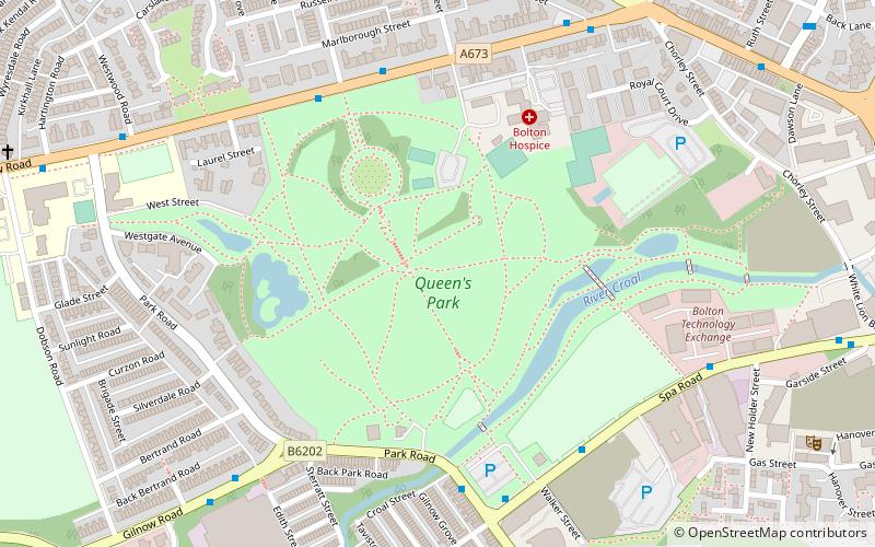
Queen's Park is a roughly circular 22 acres Victorian park lying on sloping ground to the north-west of Bolton town centre, in Greater Manchester, England. Opened as Bolton Park on 24 May 1866 by Lord Bradford it was renamed in 1897 in honour of Queen Victoria's Diamond Jubilee. ()
Opened: 24 May 1866 (159 years ago)Elevation: 361 ft a.s.l.Coordinates: 53°34'45"N, 2°26'39"W
Day trips
Queen's Park – popular in the area (distance from the attraction)
Nearby attractions include: St Patrick's Church, Bolton Parish Church, Bolton Steam Museum, Octagon Theatre.
Frequently Asked Questions (FAQ)
Which popular attractions are close to Queen's Park?
Nearby attractions include Shree Swaminarayan Mandir - Bolton, Bolton (12 min walk), University of Bolton, Bolton (13 min walk), Bolton Museum, Bolton (14 min walk), Bolton Town Hall, Bolton (15 min walk).
How to get to Queen's Park by public transport?
The nearest stations to Queen's Park:
Bus
Train
Bus
- Chorley New Rd/Queens Park • Lines: 575 (5 min walk)
- Chorley Old Road/Chorley New Road • Lines: 125 (7 min walk)
Train
- Bolton (23 min walk)


