Moss Bank Park, Bolton
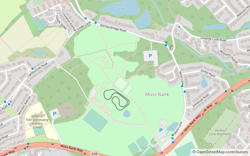
Map
Facts and practical information
Moss Bank Park is a 34.25 hectares park in Bolton, Greater Manchester, England. It consists of open space, woodland, gardens and other facilities. Moss Bank Park has been awarded the Green Flag Standard in 2008 and 2009. The Green Flag Scheme is a national standard for public parks and green spaces that aims to raise standards across the UK. This award puts Moss Bank Park alongside Brighton Pier, London Zoo, Alton Towers and the Norfolk Broads. ()
Elevation: 551 ft a.s.l.Coordinates: 53°35'48"N, 2°27'59"W
Getting there by public transportation
Public transportation stops near this location
- Bus
 Bus
Bus
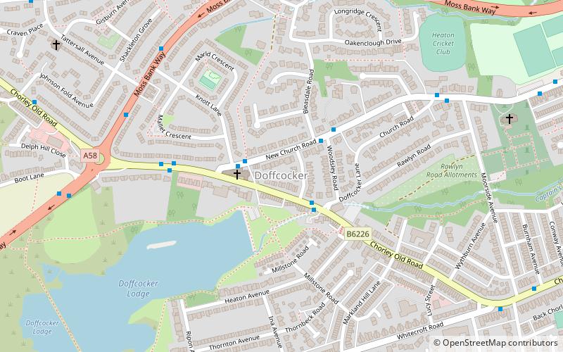
- Calculate routeChorley Old Road/Doffcocker Inn 14 min walk
Day trips


Frequently Asked Questions (FAQ)
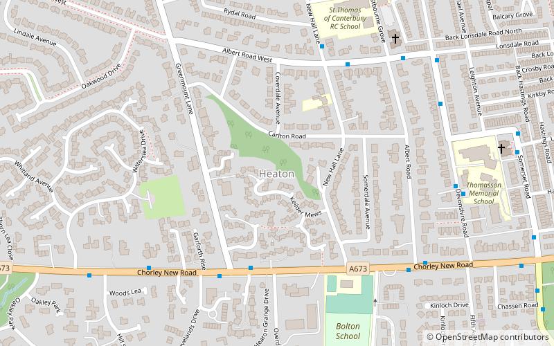
Which popular attractions are close to Moss Bank Park?
Nearby attractions include Doffcocker, Bolton (14 min walk), Smithills Hall, Bolton (16 min walk).
How to get to Moss Bank Park by public transport?
The nearest stations to Moss Bank Park:
Bus
Bus
- Chorley Old Road/Doffcocker Inn • Lines: 125 (14 min walk)