Riverside Country Park, Gillingham
Map
Gallery
Facts and practical information
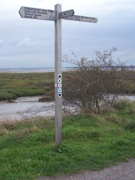
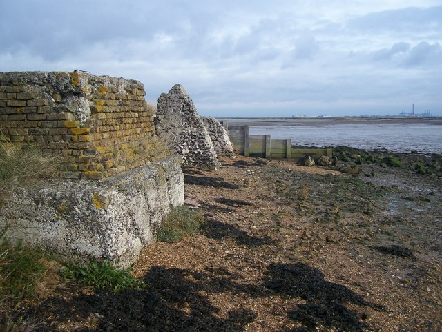
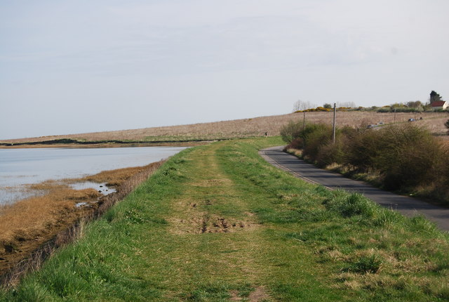
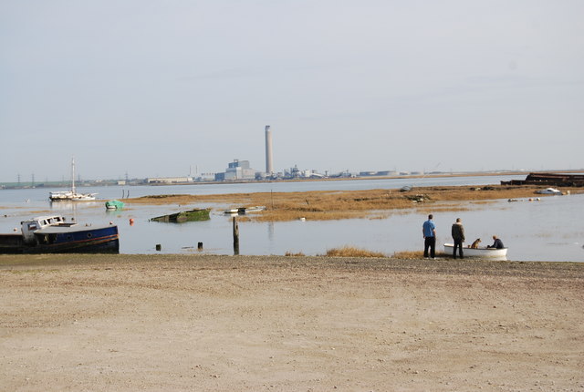
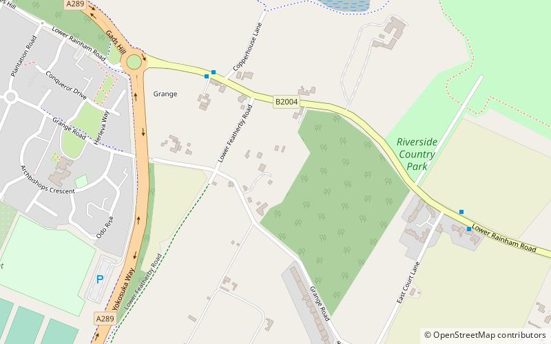
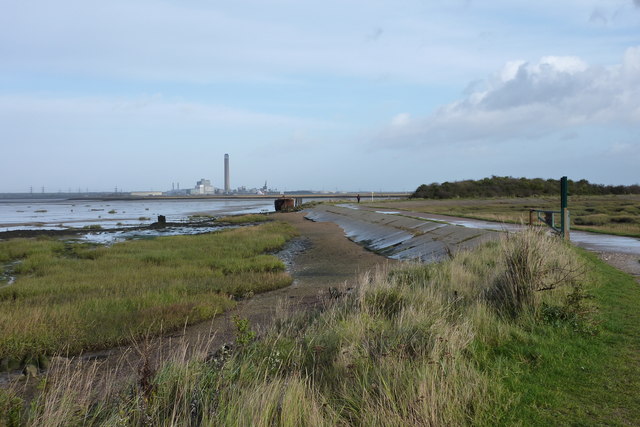
Riverside Country Park is a large coastal public park, situated alongside the River Medway estuary between Gillingham and Rainham. The park covers about 100 hectares - approximately 247 acres. There are a variety of natural habitats within the park, including mudflats and salt marsh, ponds and reed-beds, grassland and scrub, which provide a haven for wildlife. ()
Created: 1970Elevation: 7 ft a.s.l.Coordinates: 51°23'16"N, 0°35'34"E
Day trips
Riverside Country Park – popular in the area (distance from the attraction)
Nearby attractions include: Berengrave Chalk Pit, Fort Hoo, PS Medway Queen, Grange Redoubt.
Frequently Asked Questions (FAQ)
Which popular attractions are close to Riverside Country Park?
Nearby attractions include Grange Redoubt, Gillingham (12 min walk), Woodlands Redoubt, Gillingham (17 min walk).
How to get to Riverside Country Park by public transport?
The nearest stations to Riverside Country Park:
Train
Bus
Train
- Fort Apache (32 min walk)
Bus
- Woodlands Road South end • Lines: 116 (42 min walk)


