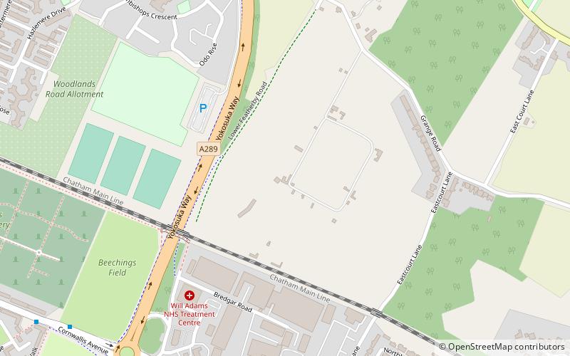
Woodlands Redoubt, Gillingham
Map
Facts and practical information
Woodlands Redoubt, also known as one of the two Twydall Redoubts, was constructed in 1888. It was not included in the original list of defensive structures proposed by the Royal Commission on the Defence of the United Kingdom in 1860, but was conceived later and implemented as an experimental redoubt as opposed to a more substantial fort. ()
Coordinates: 51°23'1"N, 0°34'47"E
Address
Gillingham (Grange)Gillingham
ContactAdd
Social media
Add
Getting there by public transportation
Public transportation stops near this location
- Bus
- Train
 Bus
Bus
- Calculate routeRoko Health Centre 25 min walk
- Calculate routeEastcourt Lane 26 min walk
- Calculate routeWoodlands Road South end 27 min walk
- Calculate routeEdwin Road 29 min walk
- Calculate routeFort Apache 25 min walk
Day trips


Frequently Asked Questions (FAQ)
Which popular attractions are close to Woodlands Redoubt?
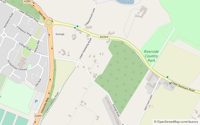
Nearby attractions include Grange Redoubt, Gillingham (7 min walk), Riverside Country Park, Gillingham (17 min walk), Priestfield Stadium, Gillingham (21 min walk).
How to get to Woodlands Redoubt by public transport?
The nearest stations to Woodlands Redoubt:
Bus
Train
Bus
- Roko Health Centre • Lines: 116 (25 min walk)
- Eastcourt Lane • Lines: 116 (26 min walk)
Train
- Fort Apache (25 min walk)