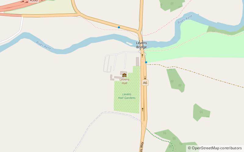
Levens Hall, Kendal
Map

Map

Facts and practical information
Levens Hall is a manor house in the Kent valley, near the village of Levens and 5 miles south of Kendal in Cumbria, Northern England. ()
Coordinates: 54°15'32"N, 2°46'35"W
Day trips
Levens Hall – popular in the area (distance from the attraction)
Nearby attractions include: St Patrick's Church, Whitbarrow, St Mark's Church, Alavana.
Frequently Asked Questions (FAQ)
How to get to Levens Hall by public transport?
The nearest stations to Levens Hall:
Bus
Bus
- Levens Bridge • Lines: 550, 551, 552, 555, 755, 99 (3 min walk)
- A590 Slip Road • Lines: 555, 755, 99 (9 min walk)


