Whitbarrow
Map

Map

Facts and practical information
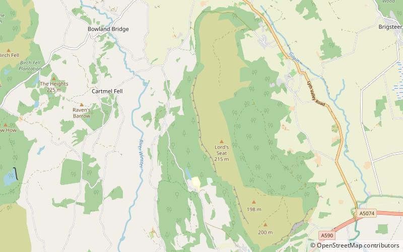
Whitbarrow is a hill in Cumbria, England. Designated a biological Site of Special Scientific Interest and national nature reserve, it forms part of the Morecambe Bay Pavements Special Area of Conservation due to its supporting some of the best European examples of natural limestone habitats. Also known as Whitbarrow Scar, the hill lies about 9 kilometres south-west of Kendal, just north of the A590 road, close to the village of Witherslack. Part of the site is a local nature reserve called Whitbarrow Scar. ()
Elevation: 705 ftProminence: 597 ftCoordinates: 54°16'45"N, 2°51'56"W
Location
England
ContactAdd
Social media
Add
Day trips
Whitbarrow – popular in the area (distance from the attraction)
Nearby attractions include: Lakes Aquarium, Fell Foot Park, Levens Hall, Stott Park Bobbin Mill.


