St Michael's Church, Telford

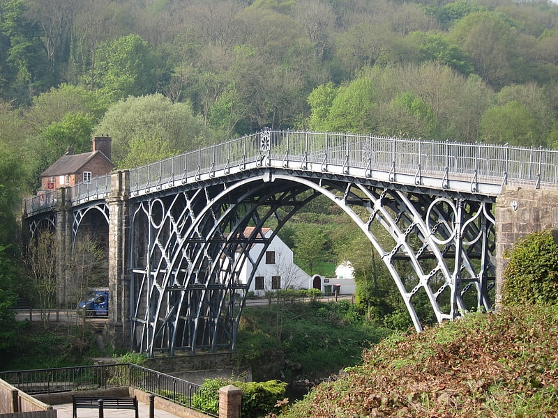
Gallery (1)
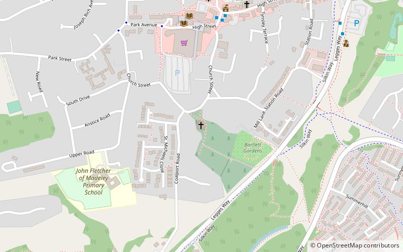
Map
Map
Facts and practical information
St Michael's Church, Madeley, is located near the centre of Madeley, Shropshire, England. It is one of three places of worship that constitute the Parish of Madeley, a Church of England parish. The parish is part of the Diocese of Hereford. ()
Coordinates: 52°38'1"N, 2°27'1"W
Day trips


Frequently Asked Questions (FAQ)
Which popular attractions are close to St Michael's Church?
Nearby attractions include Blists Hill Victorian Town, Ironbridge (7 min walk), Coalbrookdale Coalfield, Telford (23 min walk), Hay Inclined Plane, Telford (23 min walk), Jackfield Tile Museum, Ironbridge (24 min walk).