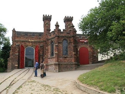
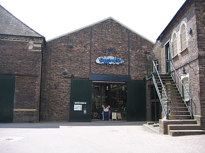
Coalbrookdale Coalfield, Telford
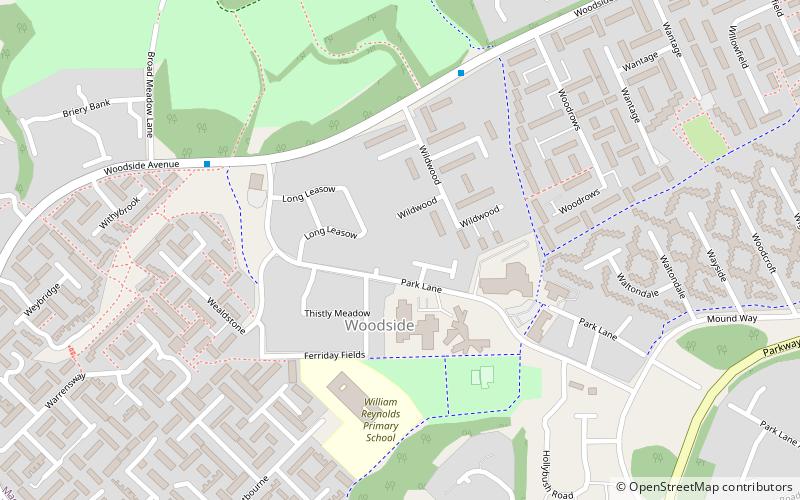
Map
Facts and practical information
The Coalbrookdale Coalfield is a coalfield in Shropshire in the English Midlands. It extends from Broseley in the south, northwards to the Boundary Fault which runs northeastwards from the vicinity of The Wrekin past Lilleshall. The former coalfield has been built on by the new town of Telford. ()
Coordinates: 52°38'19"N, 2°28'10"W
Address
Telford
ContactAdd
Social media
Add
Day trips
Coalbrookdale Coalfield – popular in the area (distance from the attraction)
Nearby attractions include: Ironbridge Gorge, The Iron Bridge, Blists Hill Victorian Town, Merrythought.
Frequently Asked Questions (FAQ)
Which popular attractions are close to Coalbrookdale Coalfield?
Nearby attractions include St Michael's Church, Telford (23 min walk), BVT Lightmoor Village, Telford (23 min walk).


