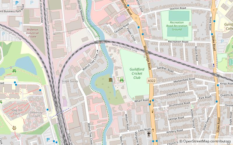
Dapdune Wharf, Guildford
Map

Map

Facts and practical information
Dapdune Wharf is a former industrial wharf and boat yard on the Wey and Godalming Navigations in Guildford, England, UK, close to the Surrey County Cricket Club ground. It is now maintained by the National Trust. ()
Coordinates: 51°14'36"N, 0°34'44"W
Day trips
Dapdune Wharf – popular in the area (distance from the attraction)
Nearby attractions include: Guildford Spectrum, Guildford Lido, The Undercroft, Guildford Castle.
Frequently Asked Questions (FAQ)
Which popular attractions are close to Dapdune Wharf?
Nearby attractions include Sports Ground, Guildford (7 min walk), St Saviour's, Guildford (9 min walk), Guildford College, Guildford (11 min walk), Guildford Synagogue, Guildford (11 min walk).
How to get to Dapdune Wharf by public transport?
The nearest stations to Dapdune Wharf:
Bus
Train
Bus
- Cricket Ground • Lines: 2, 28, 4, 5, 91, Kite, N1 (4 min walk)
- Recreation Road • Lines: 2, 28, 4, 5, 91, Kite, N1 (5 min walk)
Train
- Guildford (11 min walk)
- London Road (16 min walk)


