Stoke Mill, Guildford
Map

Map

Facts and practical information
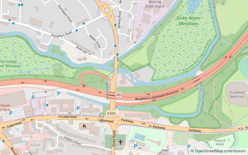
Stoke Mill is a 19th century corn mill on the River Wey that has been converted into offices. It is situated off the Woking Road just north of Guildford town centre. It forms the centrepiece of a small group of buildings that includes the Grade II listed Stoke Mill House. ()
Coordinates: 51°14'60"N, 0°34'15"W
Address
Stoke (Slyfield)Guildford
ContactAdd
Social media
Add
Day trips
Stoke Mill – popular in the area (distance from the attraction)
Nearby attractions include: Guildford Spectrum, Guildford Lido, The Undercroft, Guildford Castle.
Frequently Asked Questions (FAQ)
Which popular attractions are close to Stoke Mill?
Nearby attractions include Guildford College, Guildford (8 min walk), Sports Ground, Guildford (9 min walk), Stoke Park, Guildford (12 min walk), Dapdune Wharf, Guildford (15 min walk).
How to get to Stoke Mill by public transport?
The nearest stations to Stoke Mill:
Bus
Train
Bus
- Riverside • Lines: 3, 33, 34, 35 (2 min walk)
- Stoke Bridges • Lines: 3, 33, 34, 35 (4 min walk)
Train
- London Road (18 min walk)
- Guildford (26 min walk)


