St Andrew's Church, Woking

Gallery (1)
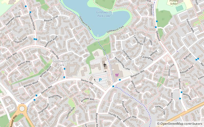
Map
Map
Facts and practical information
St. Andrew's Church is the parish church of Goldsworth Park, a district of Woking, Surrey, England. The church paid for and sponsors the secular local youth and community centre for Goldsworth Park, the A2 Youth and Community Centre or simply, the A2 Centre. ()
Coordinates: 51°19'8"N, 0°35'28"W
Getting there by public transportation
Public transportation stops near this location
- Bus
 Bus
Bus
- Calculate routeWaitrose 3 min walk
- Calculate routeBrockhill 4 min walk
- Calculate routeWatercress Way 7 min walk
Day trips


Frequently Asked Questions (FAQ)
Which popular attractions are close to St Andrew's Church?
Nearby attractions include Goldsworth Park, Woking (12 min walk), St John's Church, Woking (16 min walk), Church of St Mary the Virgin, Woking (24 min walk).
How to get to St Andrew's Church by public transport?
The nearest stations to St Andrew's Church:
Bus
Bus
- Waitrose • Lines: 39A, 39B, 39C, 455, 91 (3 min walk)
- Brockhill • Lines: 455, 91 (4 min walk)