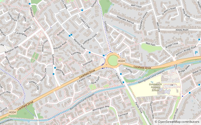
Goldsworth Park, Woking
Map

Map

Facts and practical information
Goldsworth Park is a large housing estate to the north-west of Woking in Surrey, England. It was named after the nearby Goldsworth area which was a large 'tithing' of Woking Parish. The tithing included most of the north west of Woking, such as Brookwood, Knaphill and St. John's. It is bordered by villages such as St. John's, Knaphill and Horsell. ()
Elevation: 92 ft a.s.l.Coordinates: 51°19'4"N, 0°34'50"W
Address
Woking
ContactAdd
Social media
Add
Day trips
Goldsworth Park – popular in the area (distance from the attraction)
Nearby attractions include: Woking Park, The Lightbox, Horsell Common, Christ Church.
Frequently Asked Questions (FAQ)
Which popular attractions are close to Goldsworth Park?
Nearby attractions include Church of St Mary the Virgin, Woking (15 min walk), St John's Church, Woking (19 min walk), New Victoria Theatre, Woking (23 min walk), Borough of Woking, Woking (24 min walk).
How to get to Goldsworth Park by public transport?
The nearest stations to Goldsworth Park:
Bus
Train
Bus
- Eastmead • Lines: 91 (1 min walk)
- Parley Drive • Lines: 39A, 39B, 39C (3 min walk)
Train
- Woking (26 min walk)


