Hunsbury Hill, Northampton
Map

Map

Facts and practical information
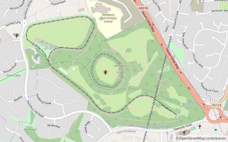
Hunsbury Hill is an Iron Age hill fort two miles south-west of the centre of the town of Northampton in the county of Northamptonshire. ()
Elevation: 377 ft a.s.l.Coordinates: 52°13'7"N, 0°55'14"W
Address
West HunsburyNorthampton
ContactAdd
Social media
Add
Day trips
Hunsbury Hill – popular in the area (distance from the attraction)
Nearby attractions include: Sixfields Stadium, Royal & Derngate, Northamptonshire Ironstone Railway Trust, West Hunsbury.
Frequently Asked Questions (FAQ)
Which popular attractions are close to Hunsbury Hill?
Nearby attractions include Hunsbury Hill Tunnel, Northampton (4 min walk), West Hunsbury, Northampton (5 min walk), Northamptonshire Ironstone Railway Trust, Northampton (7 min walk), Far Cotton Library, Northampton (20 min walk).


