St. James End, Northampton
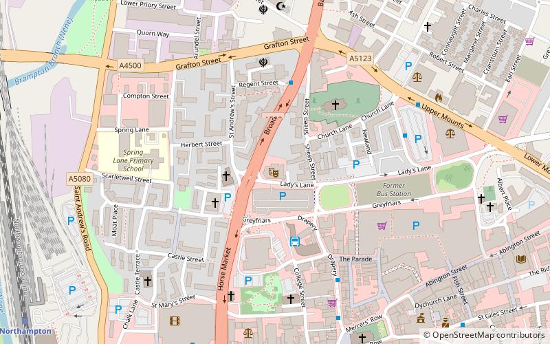
Map
Gallery
Facts and practical information
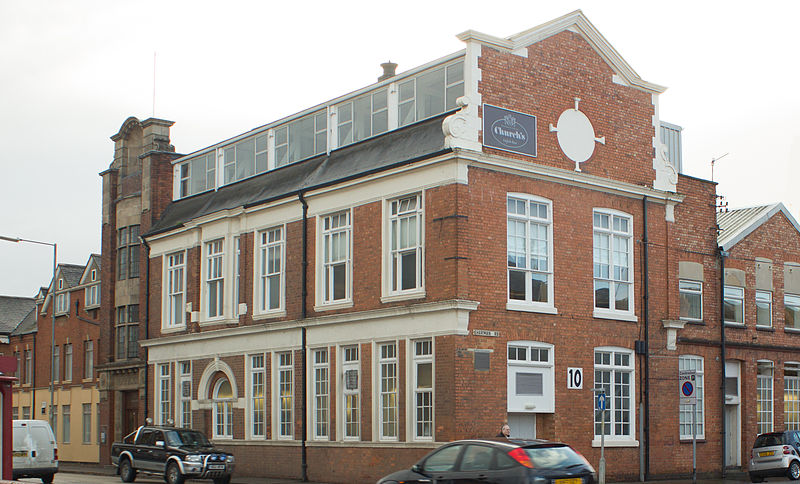
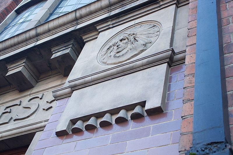
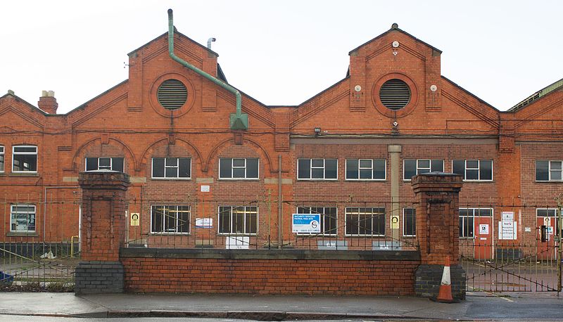
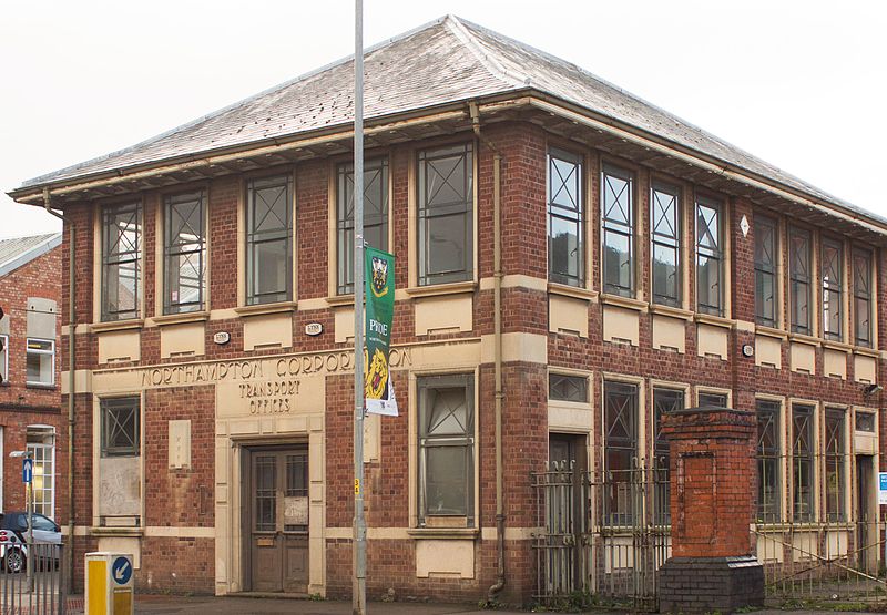
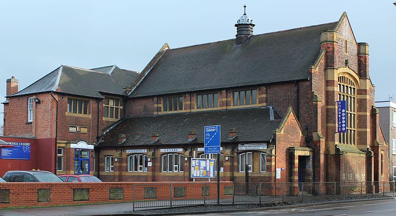
St. James End also known as simply St. James and historically St James's End is a district west of the town centre in Northampton, England. The area developed from the mid to late 19th century particularly with the expansion of the shoe manufacturing and engineering industries, and also the extension of the railway from London in June 1882. ()
Coordinates: 52°14'7"N, 0°54'37"W
Address
St. JamesNorthampton
ContactAdd
Social media
Add
Day trips
St. James End – popular in the area (distance from the attraction)
Nearby attractions include: Roadmender, Sixfields Stadium, Grosvenor Centre, All Saints' Church.
Frequently Asked Questions (FAQ)
Which popular attractions are close to St. James End?
Nearby attractions include Northampton Castle, Northampton (6 min walk), St Peter's Church, Northampton (8 min walk), Marvel's Mill, Northampton (9 min walk), Victoria Park, Northampton (11 min walk).
How to get to St. James End by public transport?
The nearest stations to St. James End:
Train
Train
- Northampton (6 min walk)


