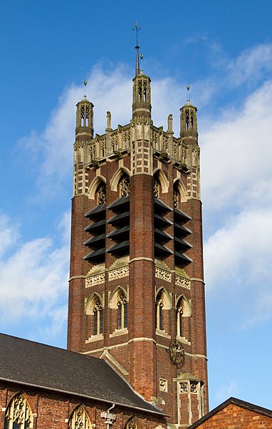
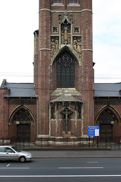
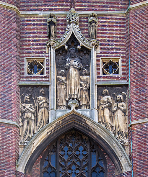
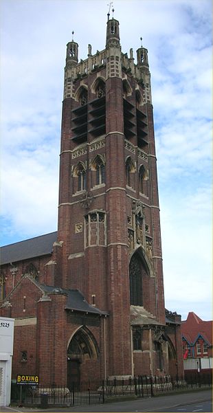
St Agatha's Church, Birmingham
Map
Gallery

Facts and practical information
The Church of St Agatha is a parish church in the Church of England in Sparkbrook in Birmingham, England. ()
Coordinates: 52°27'40"N, 1°52'25"W
Address
Stratford Road, BirminghamSparkbrookBirmingham
Contact
+44 121 449 2790
Social media
Add
Day trips
St Agatha's Church – popular in the area (distance from the attraction)
Nearby attractions include: St Andrew's Stadium, New Street, Public Library and Baths, Holy Trinity Church.
Frequently Asked Questions (FAQ)
Which popular attractions are close to St Agatha's Church?
Nearby attractions include Sparkbrook, Birmingham (4 min walk), St Barnabas' Church, Birmingham (12 min walk), Emmanuel Church, Birmingham (14 min walk), St John's Church, Birmingham (15 min walk).
How to get to St Agatha's Church by public transport?
The nearest stations to St Agatha's Church:
Bus
Train
Bus
- Stratford Rd / Ladypool Rd • Lines: 4, 4A, 6 (2 min walk)
- Warwick Road / Stratford Rd • Lines: 4, 4A (10 min walk)
Train
- Small Heath (16 min walk)
- Bordesley (21 min walk)


