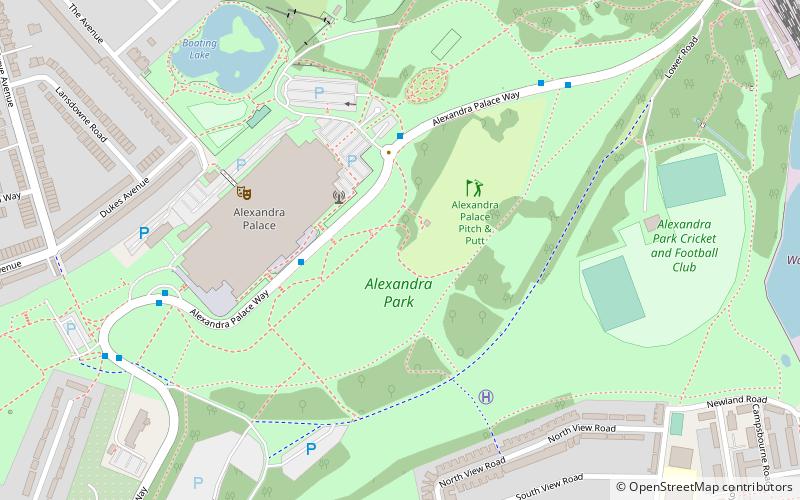
Alexandra Park, London
Map

Map

Facts and practical information
Alexandra Park is an 80–hectare, Green Flag Award, and Green Heritage winning, diverse-landscape park, in the Borough of Haringey in north London adjacent to Hornsey, Muswell Hill and Wood Green. Laid out on the site of Tottenham Wood and the later Tottenham Wood Farm, the park and palace were named in 1863, the year of the marriage of Alexandra of Denmark to the Prince of Wales who became King Edward VII. ()
Address
Alexandra Palace WayHaringey (Alexandra)London N22 7AY
Contact
+44 20 8365 2121
Social media
Add
Day trips
Alexandra Park – popular in the area (distance from the attraction)
Nearby attractions include: Alexandra Palace, The Mall Wood Green, Everyman Cinema, Jacksons Lane.
Frequently Asked Questions (FAQ)
Which popular attractions are close to Alexandra Park?
Nearby attractions include Alexandra Palace, London (2 min walk), Hornsey, London (14 min walk), O.R. Tambo Recreation Ground, London (15 min walk), Wood Green, London (17 min walk).
How to get to Alexandra Park by public transport?
The nearest stations to Alexandra Park:
Bus
Train
Metro
Bus
- Hail & Ride Alexandra Avenue • Lines: 184 (9 min walk)
- Palace Gates Road • Lines: W3 (11 min walk)
Train
- Alexandra Palace (11 min walk)
- Hornsey (23 min walk)
Metro
- Wood Green • Lines: Piccadilly (21 min walk)
- Bounds Green • Lines: Piccadilly (25 min walk)

 Tube
Tube


