George Meehan House, London
Map

Map

Facts and practical information
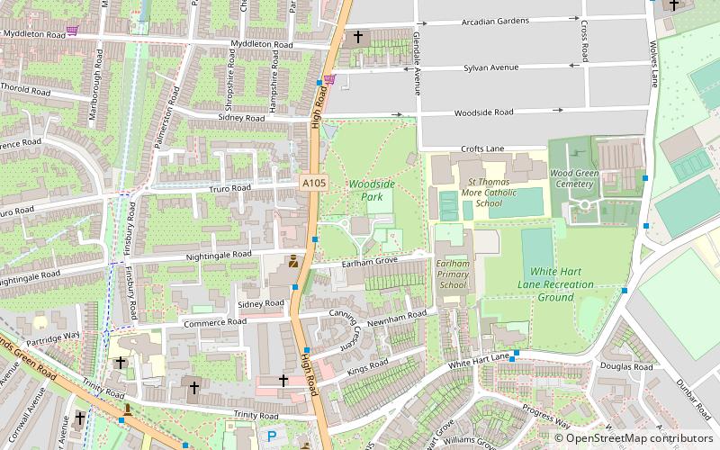
George Meehan House is a municipal building in High Road, Wood Green, London. It is surrounded by a public park known as Woodside Park and is a locally listed building. ()
Coordinates: 51°36'13"N, 0°6'39"W
Address
294 High RoadHaringey (Woodside)London
ContactAdd
Social media
Add
Day trips
George Meehan House – popular in the area (distance from the attraction)
Nearby attractions include: Alexandra Palace, The Mall Wood Green, St Benet Fink Church, Tottenham Cemetery.
Frequently Asked Questions (FAQ)
Which popular attractions are close to George Meehan House?
Nearby attractions include London Borough of Haringey, London (5 min walk), Fishmongers Arms, London (6 min walk), Braemar Avenue Baptist Church, London (9 min walk), Wood Green, London (11 min walk).
How to get to George Meehan House by public transport?
The nearest stations to George Meehan House:
Bus
Metro
Train
Bus
- Nightingale Road • Lines: 121, 141, 232, 329, 629, N29 (3 min walk)
- Canning Crescent • Lines: 121, 141, 232, 329, 629, N29 (4 min walk)
Metro
- Wood Green • Lines: Piccadilly (11 min walk)
- Bounds Green • Lines: Piccadilly (17 min walk)
Train
- Bowes Park (13 min walk)
- Alexandra Palace (15 min walk)

 Tube
Tube


