Witton Lakes, Birmingham
Map

Gallery

Facts and practical information
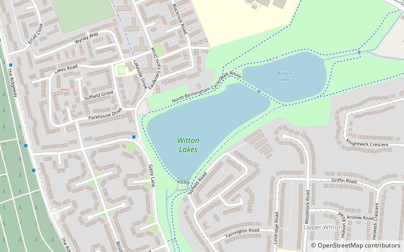
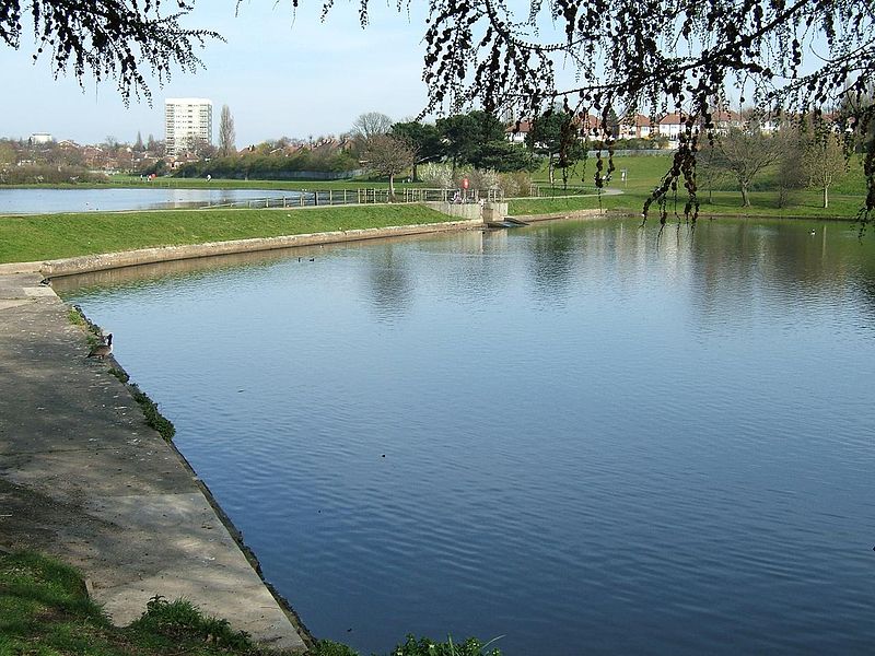
Witton Lakes are a pair of former drinking water reservoirs between the Perry Common and Erdington areas of Birmingham, England. ()
Elevation: 413 ft a.s.l.Coordinates: 52°31'45"N, 1°52'17"W
Address
Stockland GreenBirmingham
ContactAdd
Social media
Add
Day trips
Witton Lakes – popular in the area (distance from the attraction)
Nearby attractions include: Perry Barr Stadium, Brookvale Park Lake, Brookvale Park, St John the Evangelist's Church.
Frequently Asked Questions (FAQ)
Which popular attractions are close to Witton Lakes?
Nearby attractions include Witton Cemetery, Birmingham (11 min walk), St Mark's Church, Birmingham (12 min walk), Brookvale Park Lake, Birmingham (20 min walk), Bleak Hill Park, Birmingham (20 min walk).
How to get to Witton Lakes by public transport?
The nearest stations to Witton Lakes:
Bus
Train
Bus
- Short Heath Rd / Court Lane • Lines: 28 (27 min walk)
- Ej • Lines: 66 (32 min walk)
Train
- Gravelly Hill (32 min walk)
- Witton (33 min walk)


