Abbey Gardens, Winchester
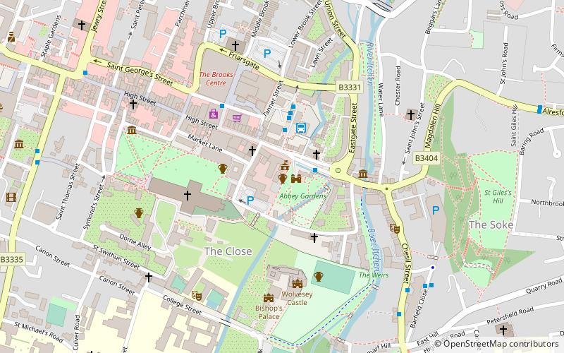
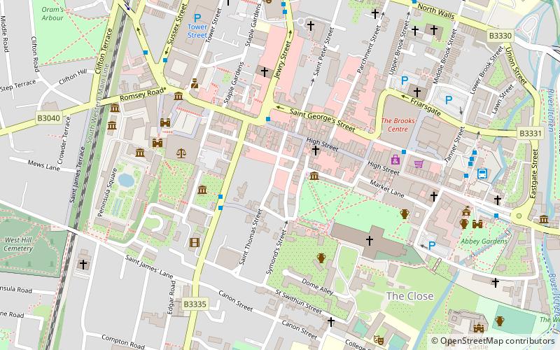
Map
Facts and practical information
St. Mary's Abbey, also known as the Nunnaminster, was a Benedictine nunnery in Winchester, Hampshire, England. It was founded between 899 and 902 by Alfred the Great's widow Ealhswith, who was described as the 'builder' of the Nunnaminster in the New Minster Liber Vitae. The first buildings were completed by their son, Edward the Elder. Among the house's early members was Edward's daughter Edburga. ()
Elevation: 131 ft a.s.l.Coordinates: 51°3'40"N, 1°18'37"W
Getting there by public transportation
Public transportation stops near this location
- Bus
- Train
 Bus
Bus
- Calculate routeWinchester Bus Station -A 2 min walk
- Calculate routeWinchester Bus Station 2 min walk
- Calculate routeJewry Street 8 min walk
- Calculate routeWinchester 16 min walk
Day trips


Frequently Asked Questions (FAQ)
Which popular attractions are close to Abbey Gardens?
Nearby attractions include Winchester Guildhall, Winchester (1 min walk), Winchester City Mill, Winchester (3 min walk), St Maurice's Church, Winchester (3 min walk), Winchester Cathedral, Winchester (4 min walk).
How to get to Abbey Gardens by public transport?
The nearest stations to Abbey Gardens:
Bus
Train
Bus
- Winchester Bus Station -A • Lines: 1 (2 min walk)
- Winchester Bus Station (2 min walk)
Train
- Winchester (16 min walk)